
A National Record of Rights of Way #
In the UK, prior to 1949, there was no provision for recording rights of way as part of a definitive map. The National Park and Access to the Countryside Act 1949 introduced provisions requiring County Councils in England and Wales to record their rights of way definitively. But the legislation never applied to Scotland, so there is no definitive map of Scottish rights of way.
For many years there was no collated record of rights of way across Scotland. This situation began to change when the Countryside (Scotland) Act 1967 was introduced. The Act assigned responsibility to local authorities for the assertion and protection of rights of way, which encouraged some to record rights of way information for their areas (although there was still no legal requirement for a comprehensive record or catalogue of rights of way across all local authority areas).
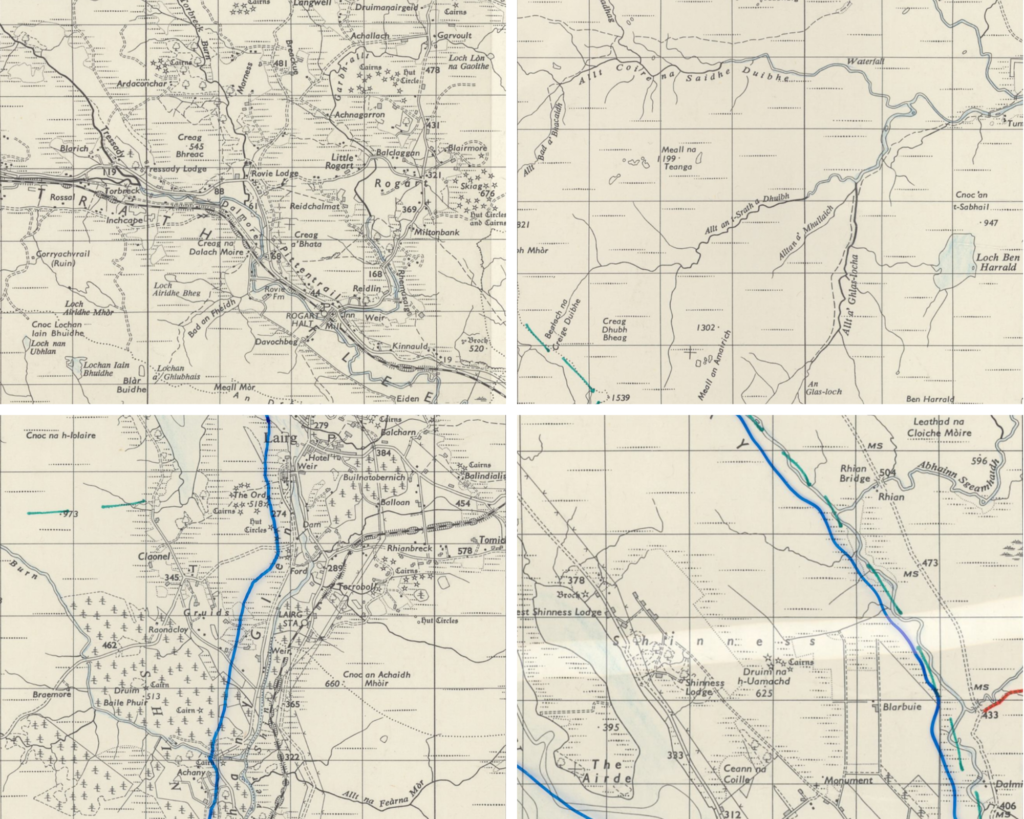
In 1973, The Scottish Rights of Way Society decided to collate this data from local authorities in order to produce Scotland’s first national record of rights of way. Honorary Secretary Duncan H McPherson was tasked with meeting District Clerks across Scotland to gather their views on the accuracy of the Society’s rights of way information, before discussing the more complicated cases with directors at the Society’s board meetings. Duncan sourced 81 one-inch to one-mile ‘Seventh Series’ Ordnance Survey (OS) maps of Scotland and drew rights of way lines on these based on the collected and agreed information, each map with overlaid transparency film that displayed the lines of the district boundaries.
Something to ‘CROW’ About #
In the early 1990s, the ScotWays board decided that an up-to-date record was required, and started a project to create the first national digital record of rights of way in Scotland. With funding from Scottish Natural Heritage (SNH) (now known as NatureScot) and local authorities, the Mapping and Recording the Rights of Way of Scotland project was launched in 1993.
Project Officer Richard Barron was tasked with researching and compiling rights of way information from ScotWays and local authority records. Once this was done:
- the rights of way lines were drawn by hand on a series of numbered 1:50,000 OS maps specially printed for this project, before being digitised and held by SNH.
- written rights of way information was recorded separately from the digital maps in a computer database. This information included a unique reference code for each route, as well as survey information and user category (amongst other information).
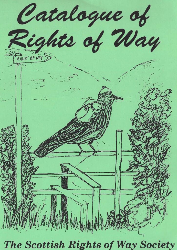
The result of this project superseded the first national record of rights of way produced 20 years earlier, with the first iteration of the national Catalogue of Rights of Way in Scotland (CROW). To read more about what CROW is today and the information it holds, read this page on our website.
Atlas #
Since its creation, CROW has gone through a number of changes.
In 2006, ScotWays invested in its own Geographic Information System (GIS). This enabled us to adopt from SNH the care of CROW’s digital maps. Despite now looking after all of CROW, its two parts, maps and route information, remained stored in different systems (the GIS and a Microsoft Access database respectively). This separation of mapping and written information persisted, for a number of years despite ScotWays taking advantage of various technological improvement opportunities.
That was until 2019, when ScotWays launched the Atlas project. Led by Director Richard Barron (the same who led the initial CROW project in the 1990s), ScotWays upgraded from its GIS to the Countryside Access Management System (CAMS) in order to enable staff to access information on CROW, Heritage Paths, Scottish Hill Tracks, signposts and enquiries in one place.
It was intended that the second stage of the Atlas project would involve changes on our website to enable members and volunteers to report issues and submit surveys for inclusion on CROW. Although this didn’t come to pass, in 2026 ScotWays is commencing a 10-year rolling surveying programme making use of software which allows volunteers to upload survey reports and photos for inclusion in CROW.


