
Uncovering Layers of History Along the Old Drove Roads of Argyll
This article is written by volunteer Laura Thompson. The Drove Roads mentioned in this article are both Scottish Hill Tracks and Heritage Paths. You can find out more about Heritage Paths and explore the interactive map here . You can find out more about the relevant...

Heritage Path for July 2026: Old Cross-country Routes
Heritage Path of the Month. Old Cross-country Routes is our Heritage Path of the Month for July 2026. More about the Old Cross-country Routes: From the car park at Incheril, go up the private road to Heights of Kinlochewe. Take the left-hand track which goes north up...
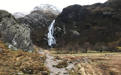
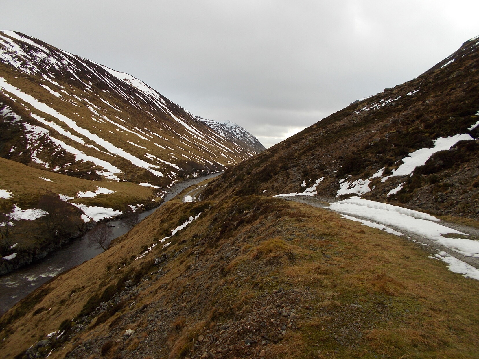
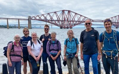
Tramps and Thieves
Tramps, hawkers, thieves – their journeying has featured in many old songs, and these days I guess we could add baggers to the list. It was Munro-bagging that first led me to one of the longest and finest of the ScotWays Heritage Paths: the 70+ km...
Heritage Path for June 2026: Glen Tilt
Heritage Path of the Month. In celebration of the James Hutton Tercentenary*, Glen Tilt is our Heritage Path of the Month for June 2026. More about Glen Tilt: Starting at the Linn of Dee, from here to the Geldie Burn a good estate track exists. At the Geldie Burn...

Radical Road Update
On 27th May, Historic Environment Scotland (HES) received consent for works which will partially re-open the Radical Road in Holyrood Park, Edinburgh, following its closure for almost eight years due to rockfall concerns. The reinstated access to the South Quarry...
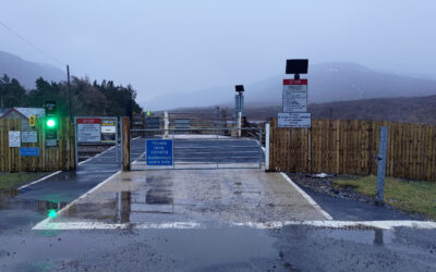
Memorandum of Understanding – the use of private level crossings for non-motorised public access in Scotland
ScotWays was pleased to work with Network Rail and other partners in the National Access Forum (NAF) level crossings working group. Railway crossing points are often a vital part of local path networks, preventing railway lines from acting as walls dividing...
Heritage Path for May 2026: Military Road to Fort William
Heritage Path of the Month. Military Road to Fort William is our Heritage Path of the Month for May 2026. Our historic signpost for this route was recently refurbished by volunteers, click through to the path page to see a picture. More about the Military Road to Fort...
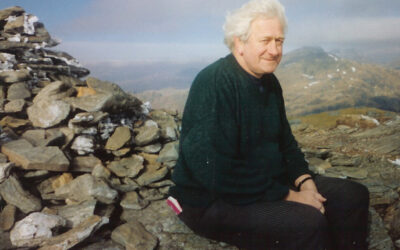
George Menzies
We were greatly saddened to learn of the death on 18 April of our Honorary Vice-President, George Menzies. George had a very long and much valued connection with ScotWays, joining the board in 2001 and going on to hold the position of chair from 2006 to...
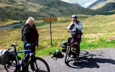
Boats and Bikes and Trains: Memories of a Heritage Path to Knoydart
Well into their round of the Munros, Cathy and Sheila decided one May to tackle the three summits in Knoydart. And they thought they’d make it a circular trip – getting into Knoydart from Strathan and Glen Dessary, and leaving by the Inverie to Mallaig ferry. The...
Heritage Path for April 2026: Greenock Cut
Heritage Path of the Month. Greenock Cut is our Heritage Path of the Month for April 2026. More about the Greenock Cut: The Greenock Cut is a former aqueduct with embankment serving as a walkway. It follows the contours of the hillside, mainly overlooking the town...

Ramblers “Access Denied” Campaign
The Ramblers have launched a new UK‑wide campaign, Access Denied, highlighting years of underinvestment and neglect that have left thousands of local paths missing, blocked, or unusable. The campaign calls on governments to protect and expand path networks so that...
Come and Help us Uphold Access Rights!
We are seeking an Administration and Communications Assistant to support the smooth running of our Edinburgh office and help deliver our communications activities. This is a varied and hands-on role, combining core administrative responsibilities with support for...


