by David Oxley | 11 September 2025
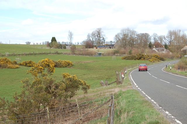
From the middle of the small cluster of houses at Carnbo, a tractor-track runs north, weaving its way between cropped and grazing fields. At an otherwise unremarkable point on this track, Grid Ref 053 036, the route follows field edges NNE and NNW to reach the Golland...
by David Oxley | 11 September 2025
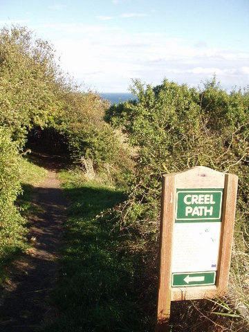
This is a well defined footpath linking Coldingham to St Abbs. It starts just north of Coldingham along the B6438 and is signposted, so should be easy to follow. OS Landranger 67 (Duns, Dunbar & Eyemouth area)
by David Oxley | 11 September 2025
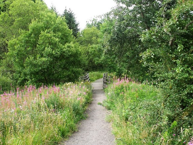
Newsflash! The Heritage Paths (Campsie Fells) Project has produced a lovely Campsies map leaflet showing this old route and other paths in the area. To get your hands on one, simply send us an SAE c/o ScotWays (see address top-right) and we'll post...
by David Oxley | 11 September 2025
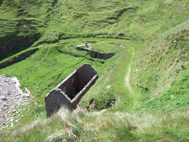
The following survey was published by the Royal Commission on Ancient and Historic Monuments of Scotland in 2004 and so should still be current. "The harbour is reached from the cliff-top by way of a track cut into the steep slope, which runs in an arc from the...

by David Oxley | 11 September 2025
The Buckie Regeneration Group worked in conjunction with the Keith and Strathisla Regeneration Partnership on a project to renovate this historic route between Buckie and Keith – it was officially relaunched by the then First Minister, Alex Salmond, on 9th July...