Path to Sarclet Fishing Station Show path on map
Start location: Sarclet ( ND 350 434 )
End location: The Haven ( ND 352 434 )
Geographical area: Caithness
Path type: Trade Route
Path distance: 0.2km
Accessibility info: Suitable for pedestrians
Route Description
The following survey was published by the Royal Commission on Ancient and Historic Monuments of Scotland in 2004 and so should still be current.
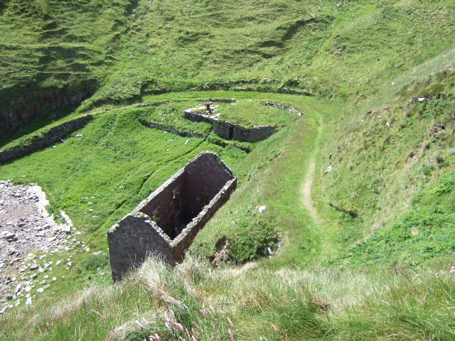
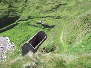
"The harbour is reached from the cliff-top by way of a track cut into the steep slope, which runs in an arc from the top of the NW side of the cove around the SW side to terminate on the shingle beach on the SE. "
OS Landranger 12 (Thurso, Wick and surrounding area)
Heritage Information
This is an old track leading to the remains of an abandoned fishing station at Sarclet Haven. The fishing stations were where the Herring boats brought home their catch to be processed. The herring industry was huge in Scotland and gave a lot of jobs to people who had recently been cleared from their homes.
The ruins of two houses probably used for storage and curing fish are evident at Sarclet. The remains of the slipway, built from large laid boulders still exists but it is now heavily obscured by shingle.