by Neil Birch | 11 September 2025
Newsflash (August 2016): ScotWays has completed the first stage of its Lammermuirs project with the publication of a new map of the Lammermuirs. Associated signposting work is ongoing, but although signage surveys have already being...
by Neil Birch | 11 September 2025
Newsflash (August 2016): ScotWays has completed the first stage of its ongoing Lammermuirs project with the publication of a new map of the Lammermuirs which includes the Old Muir Road and other historic routes. Associated signposting work is...
by Eleisha Fahy | 11 September 2025
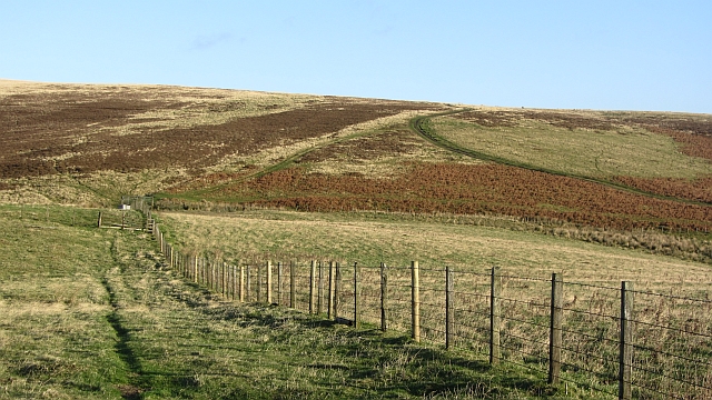
This old route leads through forests and open moorland with superb views to the Rhinns of Kells and Cairnsmore of Carsphairn. Start from the Forestry & Land Scotland car park at NX592878, 600m west of the A713 just north of Kendoon. Follow the path north down to...

by Eleisha Fahy | 11 September 2025
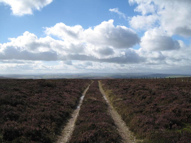
On the southeast side of Wanlockhead, a Southern Upland Way (SUW) signpost indicates a route leading southeast around the west side of Stake Hill. In 1km, join the road to the radar station, but at NS883115 leave the road (and the SUW) after 500m to continue due south...

by David Oxley | 11 September 2025
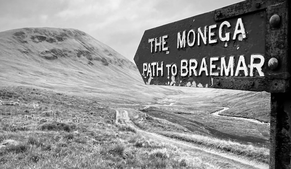
The Heritage Paths website only maps Comyn's Road between Glen Tromie and Blair Atholl, as the part from Ruthven Barracks to Glen Tromie is included here as part of The Minigaig. However, if travelling along Comyn's Road from end to end, it perhaps makes...