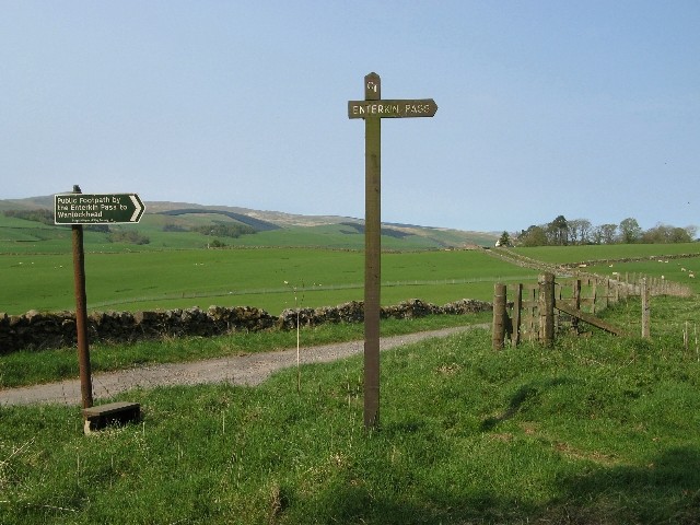
Enterkin Pass Show path on map
Start location: Wanlockhead ( NS 878 129 )
End location: A702, near Drumcruilton ( NS 884 017 )
Geographical area: Dumfries and Galloway
Path type: Drove Road, Medieval Road, Trade Route
Path distance: 11.5km
Accessibility info: Suitable for pedestrians
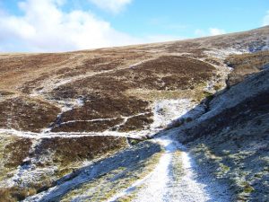
Route Description
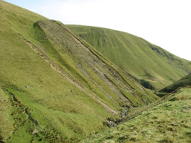
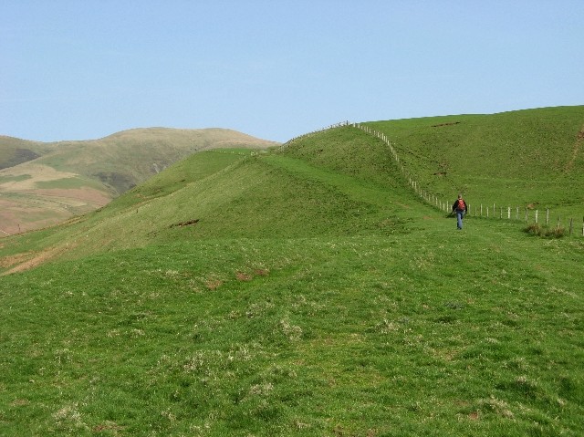
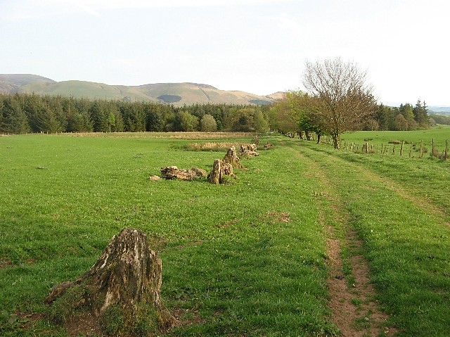
On the southeast side of Wanlockhead, a Southern Upland Way (SUW) signpost indicates a route leading southeast around the west side of Stake Hill. In 1km, join the road to the radar station, but at NS883115 leave the road (and the SUW) after 500m to continue due south to the Enterkin Pass between Lowther Hill and East Mount Lowther. Descend by the west bank of the Enterkin Burn for 3km until it turns west at Glenvalentine. From there, climb south up the track from the burn to the ridge ahead. Keep going south down this ridge (with spectacular views of Enterkin Glen) to join the metalled road near Inglestone. Head southeast along this road via Muiryhill and Drumcruilton to reach the A702 Dalveen Pass road.
OS Landranger 78 (Nithsdale & Annandale area)
Heritage Information
The Enterkin Pass is an old route north, crossing the Lowthers to Leadhills, and so onwards to Glasgow. There is some debate about its age, it is often referred to as being medieval in date. One theory is that it was specially made to carry lead from the mines to Dumfries and may date to the early sixteenth century. It appears to have been the main route between Douglas and Dumfries by 1646.
On 29th July 1684, the Enterkin Pass was the scene of a dramatic rescue. Soldiers escorting prisoners from Dumfries via Thornhill to Edinburgh were ambushed at Glenvalentine by Covenanters. It is reported that there were casualties on both sides and most of the prisoners escaped. Five of the Covenanters involved were caught soon after; within three weeks they had been executed in Edinburgh.
Daniel Defoe in "A Tour Thro' the Whole Island of Great Britain" (1726) described the pass thus: "Enterkin, the frightfullest pass, and most dangerous that I met with, between that and Penmenmuir in North Wales".
The Enterkin was still regarded as important enough to be marked on Roy's Military Survey (1747-55). It is labelled both as Entriken Path and as Road over Entrican to Edinburgh. The route runs south from Leadhills and on the east side of Stake Hill. After passing down the Enterkin Burn, it lies east of Ingliston and runs through Muiryhill, finally reaching the Nith Valley after passing through Holstion and crossing the Carron Water near Moreton Mill. This southerly extent past Drumcruilton was most probably lost to the A702 and the railway line to Sanquhar.
By the time of the Ordnance Survey's 6" mapping (1850s), a track can be seen crossing Stake Moss coming up from Wanlockhead on the line of today's Southern Upland Way. This meets the route from Leadhills which is labelled Enterkin Path. Further south where the route passes to the west of Collinnie Hill it is marked as a Drove Road.