by David Oxley | 11 September 2025
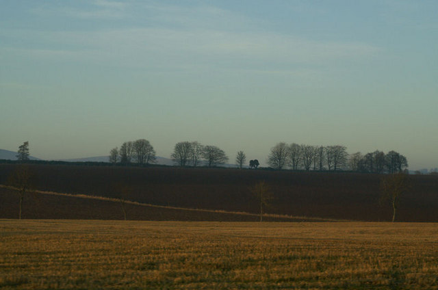
This old drove road runs from just west of Kirriemuir along the high ground over Egno Moss to Airlie. Leaving the B951, the route is signposted onwards. The right of way is never in doubt, though sometimes grass, sometimes track. It crosses the public road near...

by Finley Jackson | 11 September 2025
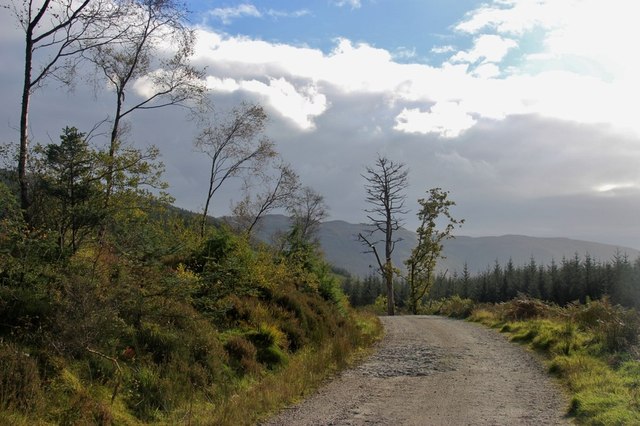
There is a fine example of a ScotWays sign at NN117611 declaring “Camus na h Eirighe 1/4m”, with an associated heritage information plaque about the “lost village”. A newish metal pedestrian gate (adjacent locked field gate) gives access to a...
by Eleisha Fahy | 11 September 2025
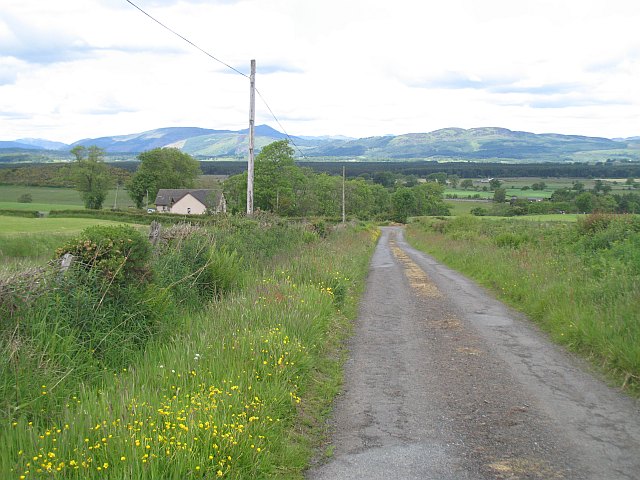
Where the B836 crosses the Little Eachaig River at the foot of Glen Kin, a track leads up the east side of the Glenkin Burn to Stronsaul where there is a crossing point. The track continues to a picnic shelter at NS121782, meeting the modern track which approached...
by David Oxley | 11 September 2025
Newsflash! The Heritage Paths (Campsie Fells) Project is very pleased to announce that we have a lovely Campsies map leaflet showing this old route and others in the area. To get your hands on one, simply write to us enclosing an SAE c/o ScotWays...
by Eleisha Fahy | 11 September 2025
Cross Yarrow Water by the bridge just by the weir where it leaves the loch. There is a good track following the river eastward. For the best part of 1km it keeps fairly close to the river, diverging only gradually until the burn coming down from the gap between...