The Creel Road Show path on map
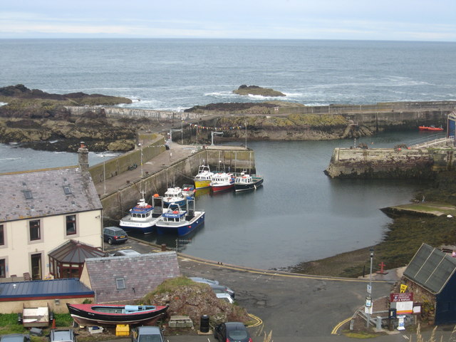
Start location: St Abbs ( NT 918 671 )
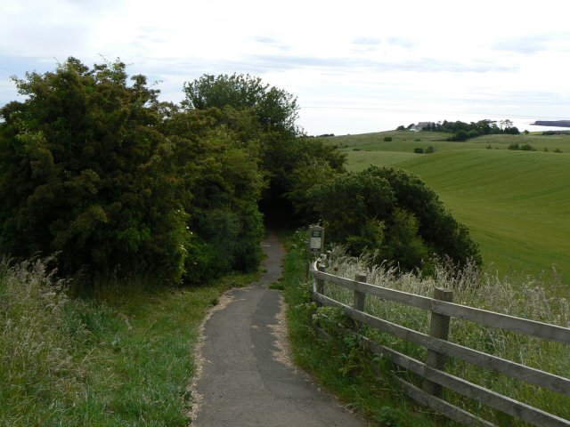
End location: B6438 north of Coldingham ( NT 910 666 )
Geographical area: Lothian and Borders
Path type: Trade Route
Path distance: 1.1km
Accessibility info: Suitable for pedestrians
Route Description
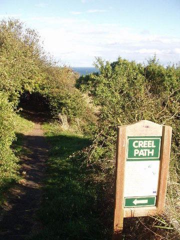
This is a well defined footpath linking Coldingham to St Abbs. It starts just north of Coldingham along the B6438 and is signposted, so should be easy to follow.
OS Landranger 67 (Duns, Dunbar & Eyemouth area)
Heritage Information
St Abbs harbour was originally known as Coldingham Shore. The Coldingham fishermen lived in Fishers' Brae and carried their fishing gear down to the harbour along the Creel Path, later returning with creels of fish.
Scotland has many such creel roads. Here, it was probably mainly herring that was caught, then taken in creels along the road. The nearby Herring Road starting at Dunbar is a much longer example.