
by Neil Birch | 15 August 2026
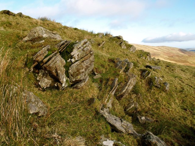
Beside the A701, just northeast of the entrance to Newland Cemetery, a wooden fingerpost indicates “Peebles via Stewarton, 10m[iles]” uphill along a No Through Road passing Romanno House Farm, and southeast over the hill to Fingland Burn by a broad grassy...
by Eleisha Fahy | 11 September 2025
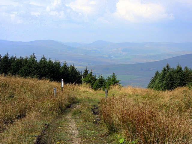
Cross Yarrow Water by the bridge just by the weir where it leaves the loch. There is a good track following the river eastward. For the best part of 1km it keeps fairly close to the river, diverging only gradually until the burn coming down from the gap between...
by Eleisha Fahy | 11 September 2025
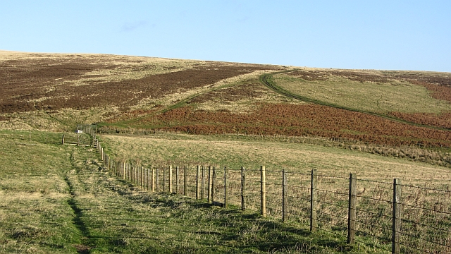
From Dinlabyre, go east uphill by a forestry road past Mountain View. Continue southeast to NY548907 where the track turns northeast towards Larriston Fells. It then crosses open ground at about 500m, diverging from a radio mast’s track at NY560913, to head...
by Eleisha Fahy | 11 September 2025
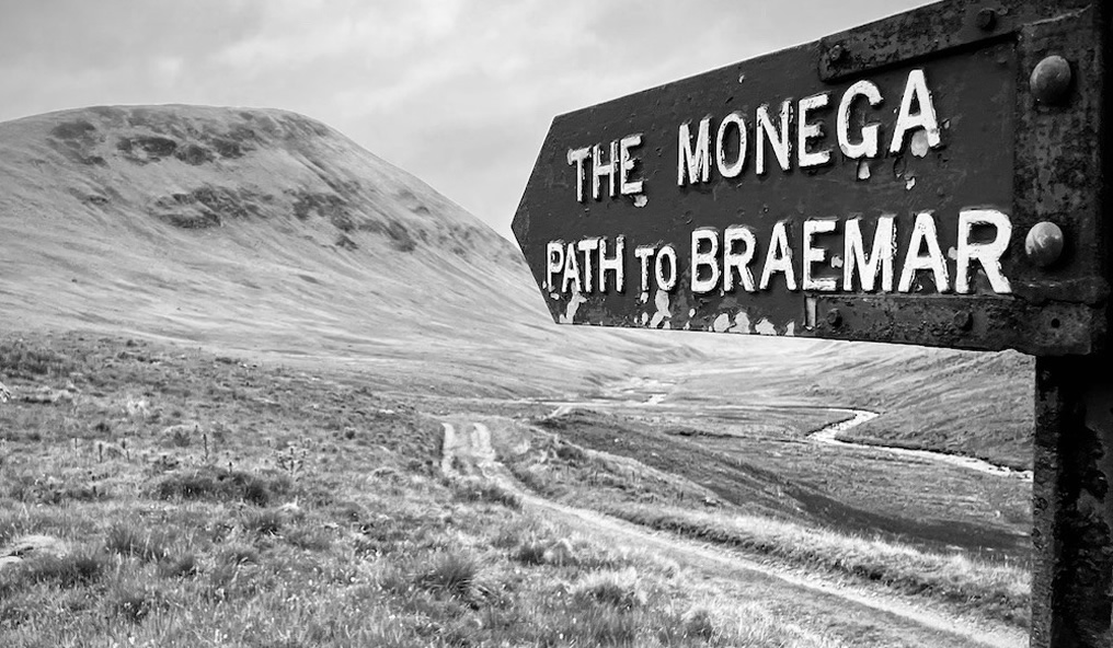
Our surveyors walked this route from NT511530 (west of Addinston) to NT517570 (bridge over Kelphope Burn, Dodcleuch):From the A697, west of Addinston, a signpost indicates The Hillfort. At the farm, turn north as indicated by the hillfort signage. At NT520534, a sign...
by Craig Reilly | 11 September 2025
Our survey follows this old route away from Duns: Near Ellemford Bridge, a signpost at NT727601 states Harehead 4 miles. The track heads uphill and in a short distance, where it forks, take the right hand route and continue up the hill. The first section of this right...
