
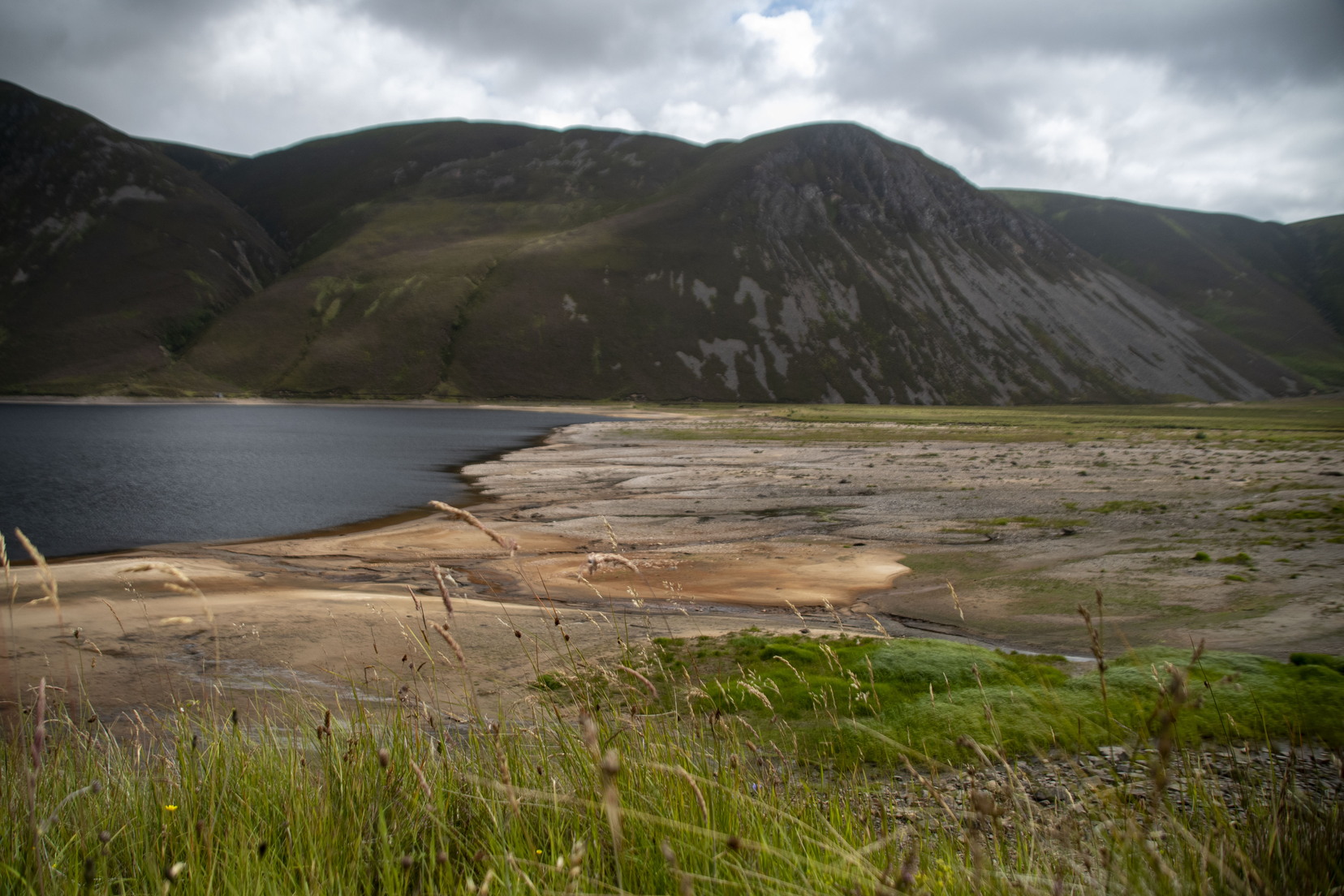
Colin MacLennan volunteered to resurvey this ancient route, as part of our current Heritage Paths project.
“We are now ready to invite volunteers to sign up to resurvey some of our Heritage Paths. We’re starting by focusing on hillier parts of Scotland, but there is still a wide range of terrain types and lengths, so we’re sure most of you will find something suitable.”
So began an email from ScotWays (The Scottish Rights of Way and Access Society) – the independent charity which upholds and promotes public access rights in Scotland, founded in 1845. I’ve done a few route surveys for them before; I’m even in the latest book! They’re lovely folk to deal with so I was keen to give this another go. I used to enjoy a lot more walking than I manage these days, long distances, up hills and with overnights far from anywhere. I tell myself this is nothing to do with (whisper it) not being 21 anymore and all to do with having many other commitments, I’m not sure. Anyway, I had a look at their map to see what was required and was pleased to note several routes within my Cairngorms Patch, including one long one which has been in my sights for a long while. I’ve told you about Ruthven Barracks before. Several routes both old and modern converge here at the natural junction of major glens, which offer the lowest practical routes in this part of the highlands. Old military roads, drove (cattle) roads, the modern A9 and railway all pass close by. Several old ways link the towns of Kingussie and Blair Atholl. They differ from today’s routes through the Pass of Drumochter, which only became really viable once engineering budgets enabled crossing extremely boggy ground.
“Something suitable” – The Heritage route – the Comyn’s Road, as best as can be determined, takes a unique route, staying mainly on higher ground, but begins and ends at the same points as others. I’d looked at the area on the map many times, and walked some sections on various ploys, but never end to end. I was also keen to escape humanity and hassle for a while, so on a bit of a snap decision, and with a rare free weekend available, I signed up, downloaded the available information, packed my kit, and by the Friday evening was parking near Kingussie station (to facilitate the train/bus return journey). Comyn’s Road is an old route, little used for centuries. The Comyn (or Cummings) family held the earldom of Atholl and the Lordship of Badenoch, and this route was built at the end of the thirteenth century to link their castles at Blair and Ruthven. It originally took wheeled carts and is traditionally said to have been used for the transportation of ale from Atholl to Ruthven. By the seventeenth century Comyn’s Road seems to have been superseded by the Minigaig to the east and the route through the Pass of Drumochter to the west. When the Comyn’s Road was built and in use, there were no maps. This, and the previous survey description, suggested that the track would not always be easy to find, but transporting ale has always been a cause close to my heart, and so I packed for potentially more days than mileage alone might suggest.
From the station it’s scarcely a mile up to the barracks, where you leave paved, public roads behind and head into the hills. I knew the first mile or so, having wandered up here to find good viewpoints for some photographs, but was very soon into unknown ground and as would turn out to be the norm for this walk, the track becoming progressively more vague. I began taking notes and photographs, the purpose of the trip being to write up an accurate description. There’s no intention to repeat that here, but if interested, by the time you read this it should be available on ScotWays website here: Comyn’s Road | ScotWays.
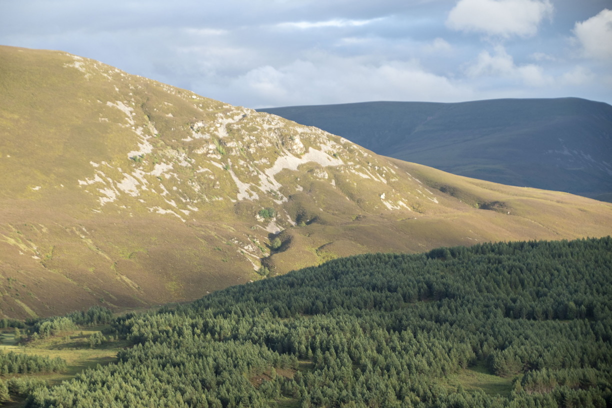
View across Glen Tromie © Colin MacLennan
Crossing the highest point and dropping into Glen Tromie, after about five miles the route briefly rejoins civilisation, but only just; there’s a private gravel road which leads up to the dam (hydroelectric) and a single occupied cottage. By the time I reached the river, rough ground and dense vegetation were becoming a real pain, and in any case, it was time to prepare for bed, so I waded the river to reach the easier going on the track and soon found a good level grassy spot to pitch the (tiny) tent. Naturally for July/August, the midgies were busy, so I slathered on lotion, donned a head net, and made a very quick meal before heading in and zipping up for the night. A single car went past, presumably cottage folks getting home late. All was comfortable enough, by morning there was enough of a breeze to keep the midgies at bay, so coffee was brewed while I got packed up and ready to move. I was surprised but delighted to find very recent signs of beavers feeding. I knew they were present further down this river where it levels out but hadn’t expected to find them up here, where the water is rougher and faster. (I messaged a friend who manages the land around here. He said he knew that they have been around for a while, but he had yet to find their lodge. It will be interesting to see how this plays out. I imagine they will want a dam or two to calm the flow and stabilise water levels.)
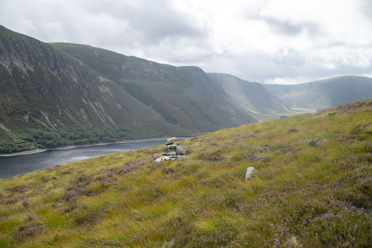
Last cairn found on Maol an t-Seilich © Colin MacLennan
Soon I had to wade the river once more (I’d brought a light pair of gutties for this purpose), then it was off uphill again, leaving the more established low-level tracks behind. I immediately felt the wave of solitude I’d hoped for. This was helped when I realised I’d brought the wrong cable to connect phone to power bank, so abandoned any thoughts of keeping in touch with anyone. I was happy to rely on paper maps, and had GPS as backup, so the phone was switched off for most of the trip. It would be quite a long day of walking, five people spotted all day, when I briefly paralleled the more popular track past Gaick Lodge, but all pleasant. I stopped for some lunch by the loch and bathed tired feet in the cold water. This is Loch an t’Seilich, mainly artificial and part of a wider hydro complex, but I’m ok with that. Hydro has long been one of our cleanest sources of energy.
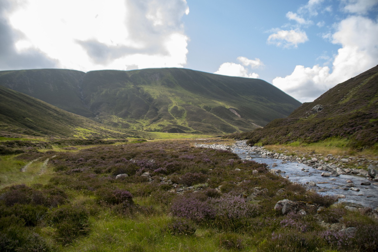
Track beside Allt Garbh Ghaig © Colin MacLennan
Late afternoon and I took another break, found a lovely patch of wildflower meadow just as the sun really warmed up, and was treated to an aerial display from a kestrel, winging across the crags on the thermals. I must have fallen asleep for a while, isn’t it great when the lack of deadlines allows that sort of luxury; and moved on refreshed once more. I had a specific spot in mind for tonight’s camp, at the head of the Glen before the route started climbing again, I wanted level ground, and an immediate water source. My luck was in, I found an idyllic spot beside the burn, and a fresh wind was just right to keep the midgies away. This allowed a calm set-up: a very nice meal of fresh pasta, a leisurely wander beside the water for a while, and the luxury of sitting outside til dark, reading and enjoying fresh coffee, supplemented by the hip flask.
Every trip like this has a low point, mine was Sunday morning. As soon as I woke, I could tell that the wind had died, there was a very light rain, just enough to soak all your gear, but not enough to displace a million midgies. I know of no worse feeling than lying in a comfy warm sleeping bag, but dying for a pee, in the absolute certainly that utter misery awaits. Nothing for it but to dash outside, try not to stay in one spot for more than two seconds, then frantically start dismantling and packing wet gear. I got underway soon enough but instantly regretted it. Between the warm muggy air, a multitude of insect bites, lack of coffee and general discomfort, I felt quite awful, nauseous and dizzy. I had no option but to stop for a while before tackling what I knew would be the steepest climb of the whole trip. Mercifully, I got just enough breeze to keep the bugs away, got washed in beautifully clear water, brewed up some fresh coffee, and munched enough biscuits to build up the energy.
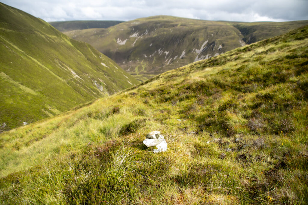
Looking back towards Allt Garbh Ghaig, there are some small cairns but the path becomes very indistinct © Colin MacLennan
The climb was steep and a bit awkward underfoot. It was difficult to be sure of the route as it zigzagged up the hillside, but nothing lasts forever, and soon I reached the luxury of a level plateau, coinciding with the weather turning perfect, warm sunshine but a cooling breeze-clarity for miles around. It was a wonderfully carefree stroll along a natural highway; there were enough little cairns to convince me I was on track. It didn’t matter from a navigation point of view, as I had a perfectly good view of the trig point to guide me, but important to remember the purpose was a route survey, not a nice walk. I stuck to this task, again taking plenty notes and photos, but I did allow myself some scepticism over the Comyn’s Road concept. Why would it go over such high ground, which could be snow-covered for months of the year, when lower routes were available? Probably, I reasoned, because the lower ground would be too boggy for carts, but then how would they have dealt with this mornings’ steep zigzags? Don’t know, but reflecting later, on balance there was more than enough to convince me this was a viable, long-term, long-distance route, albeit with some tricky sections. I guess those medieval travellers would have done it regularly enough to know and deal with all the challenges.
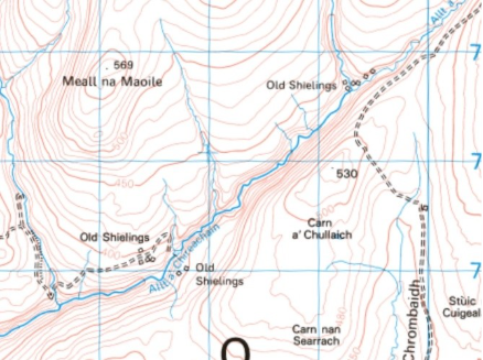
© Crown copyright Ordnance Survey, reproduced under licence AL 1000011826.
‘Who Dares Wins’, as they say, and the day just got better and better: weather – ideal; navigation – no worries; going – perfect smooth tracks. This section ended back down in another glen at a collection of ruined sheilings. This term is usually used for very basic, seasonal shelters, used only when the cattle were taken up into the hills to exploit the summer grazing. Here, I felt I was in a much more substantial settlement with several buildings, some relatively large. Also on the map were several similar collections nearby, so I wonder if some or all were more permanent places? Like so many other highland histories, the stories were lost in the Highland Clearance’s, with the population forcibly removed to clear the land for sheep and deer.
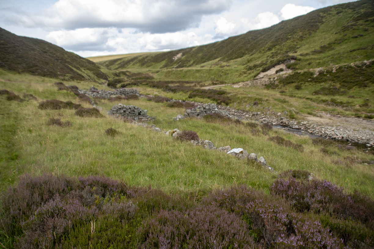
Sheilings © Colin MacLennan
If this morning was a low point, this afternoon/evening was a real high. I knew I had one more day’s walking, but that all the difficult stretches were behind; and my riverside paradise positively glowed in the warmth of the sun. I snoozed, finished my book, watched dragonflies and butterflies going about their agendas, nibbled on snacks, and enjoyed that wonderful feeling of not a care in the world. I took a wander round the remains of the sheilings. It was tempting to imagine life here as some sort of rural idyll, but I fear the truth may have been rather different. These people were unimaginably poor, they wouldn’t have owned their homes, the land, nor the cattle they tended. They would have been at the mercy of every biting insect, every whim of Scottish weather, and without any recourse to medical or other assistance. They must have been tough souls.
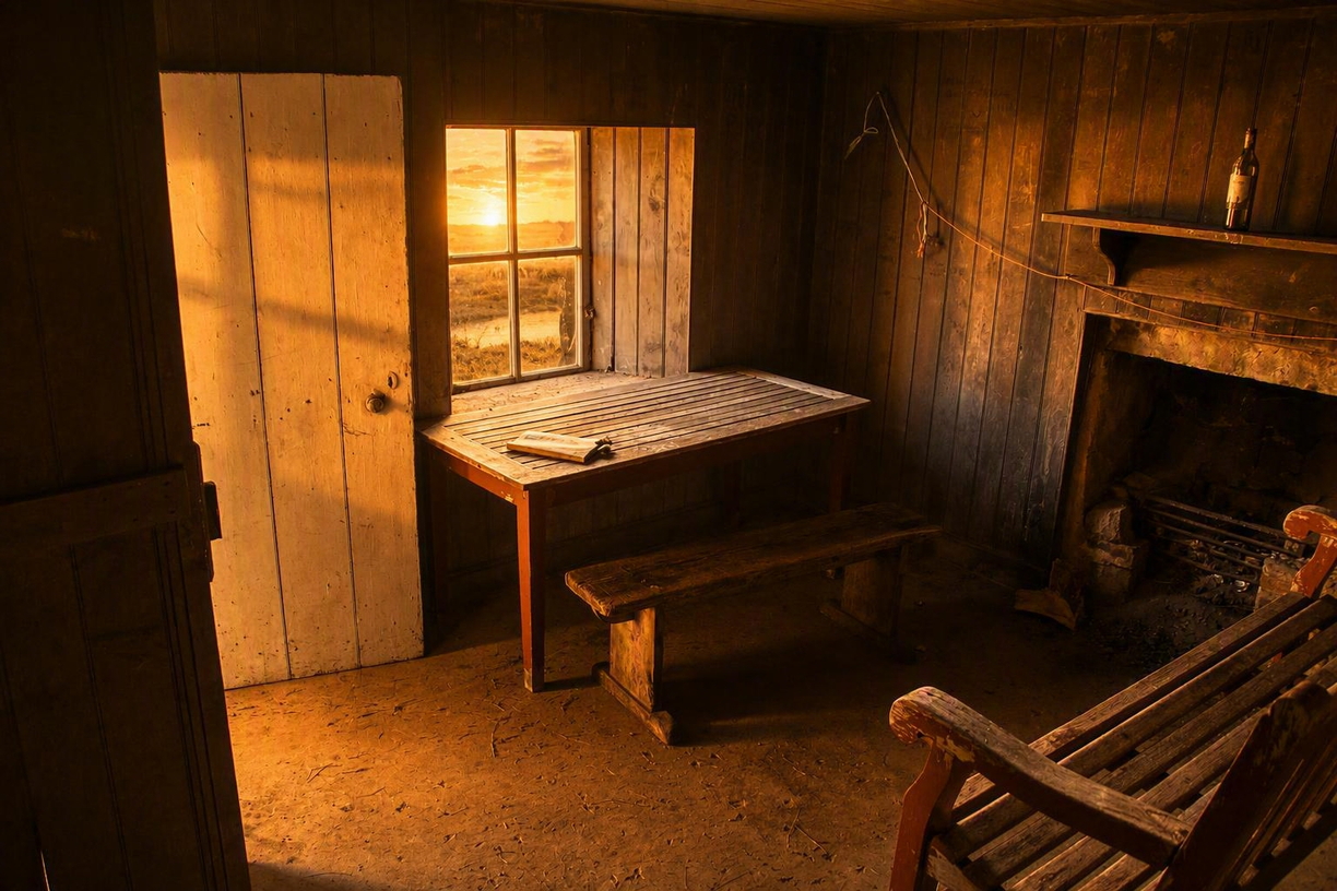
Inside Clunes Bothy © Colin MacLennan
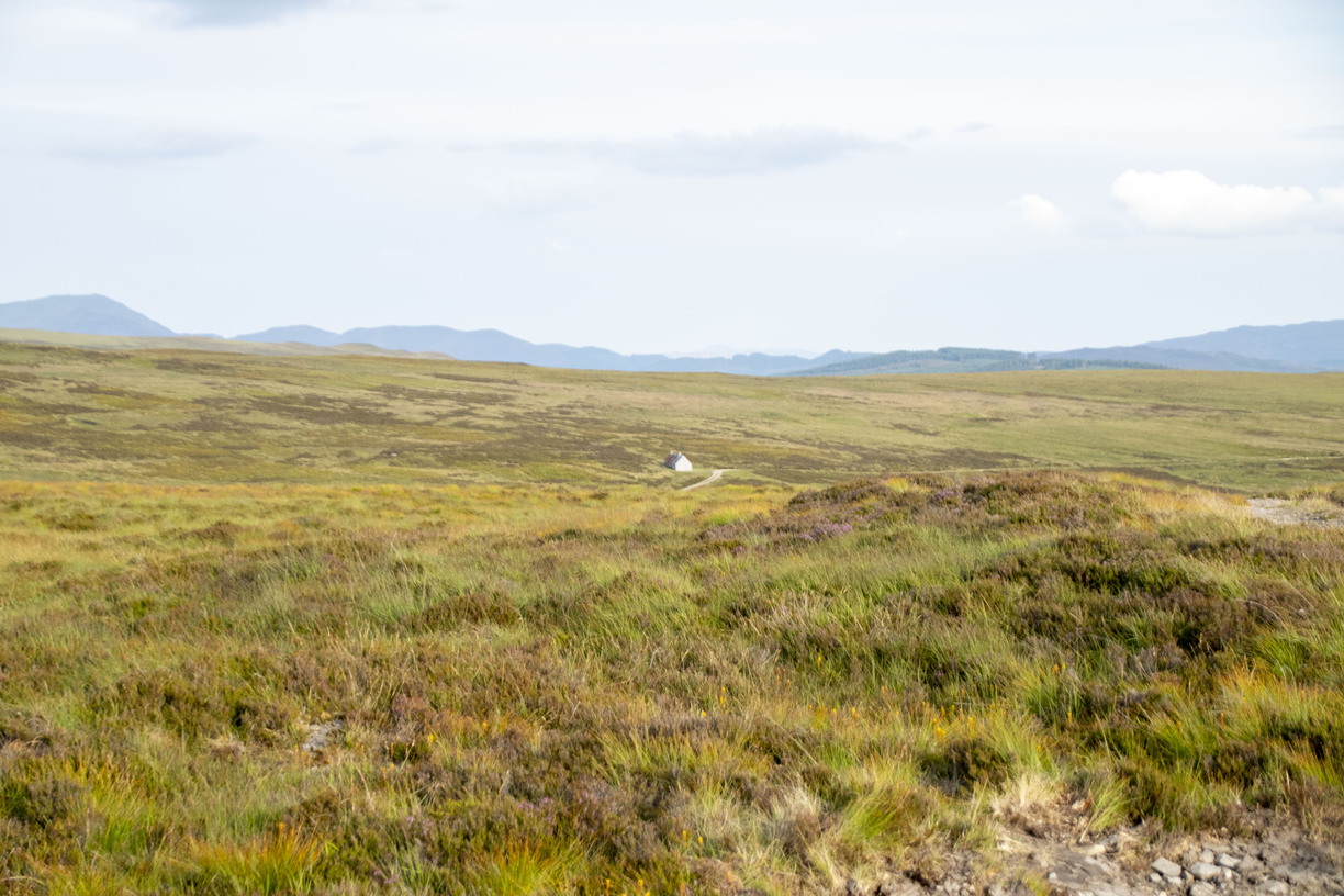
Clunes Bothy © Colin MacLennan
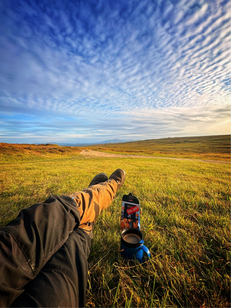
I considered setting up here for the night, but in this low, sheltered spot I feared another change in the weather and attack of the killer midges. About a mile or so further on, and higher on the hillside I knew there was a bothy. I didn’t know if it would be open, or busy, but if it was free it would be a welcome luxury. If not, at least I’d be pitching the tent on higher, more open ground, and also starting tomorrow without a steep climb, so I packed and made the short trip up the track. Clunes Bothy is in a very exposed setting, so its visible from a long way off. It looked deserted and was, but happily, was open. Bothies are largely a Scottish thing, although there are some in Wales and the north of England. Generally owned by the relevant estate, they are generously left open for use by wanderers like myself. The Mountain Bothies Association (MBA) does a great job of maintaining many of them and liaising with the owners when appropriate. They tend to be basic but robust shelters in remote countryside, sometimes former homes for shepherds or keepers, sometimes shelters for estate workers as they go about their business. Others were specifically constructed for mountaineers, hillwalkers etc.They are a fantastic resource. I’ve often been grateful for the shelter, as well as some great nights in great company. Clunes isn’t maintained by the MBA, and it’s basic, but solid and dry. It has two rooms, a few bare bunks for sleeping, also a table and some chairs. Nobody else turned up, as expected given I hadn’t seen a soul all day, and that I wasn’t on one of the more recognised through routes. I cooked and enjoyed my meal at the table, then sat outside till late just watching the sun go down. As this would be the final night, it was safe to polish off the hip flask. The night was calm and comfortable enough, although a little mouse scampered around, surprisingly noisy.
© Colin MacLennan
Morning was calm, it was a pleasure to get the coffee brewed and pack up leisurely and free from insects. From here, for a good few miles, the Comyn’s Road deviates from the modern tracks. It’s a bit hard to locate at first but once found it was unmistakable, and gave easy walking across rougher ground, marked now and again by some cairns, partly collapsed and overgrown, but not bad given they must be approaching a thousand years old. Joining estate tracks again, the last miles back to Blair Atholl were easy, and uneventful. As I neared the village I met a couple of German tourists, and a couple of stalkers with three ponies heading up the hill for a day’s work.
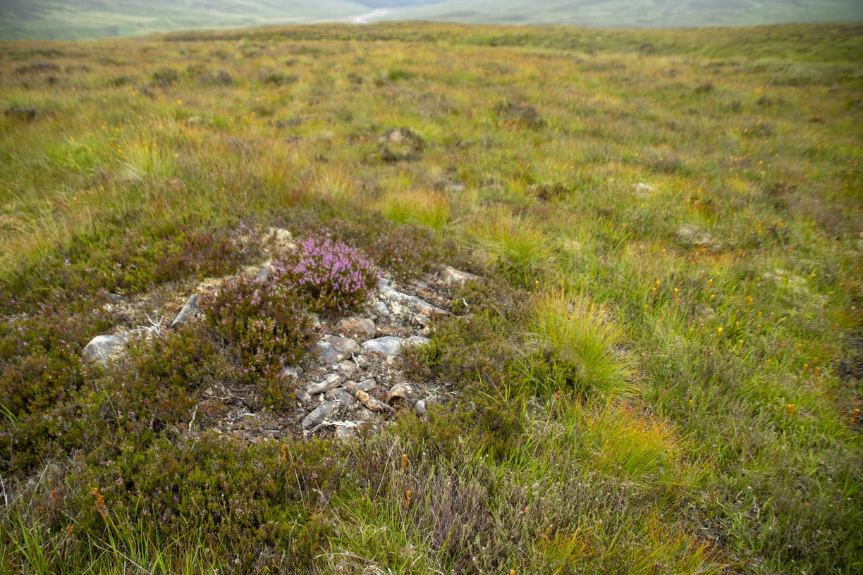
Flattened cairn between Clunes and Cuilltemhuc © Colin MacLennan
Soon enough I was among farms and cottages, satisfied but bit weary. Writing everything up will take a while but the good folks at ScotWays are always very grateful and supportive. I’m chuffed to have done my bit to enhance the records of this historic route, and (whisper it) might try for another.
ScotWays is extremely grateful to Colin for resurveying this challenging and ancient route. If his article has inspired you to get involved, find out more about surveying routes.
Our updated route description for Comyn’s Road is available free on Heritage Paths along with hundreds of other historic routes all over Scotland. We also publish Scottish Hill Tracks, a guidebook to 350 routes through Scotland’s hills and mountains.