by Eleisha Fahy | 11 September 2025
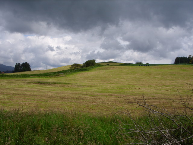
Appropriately enough, this route leaves Minnigaff northwards along Old Edinburgh Road, then go northeast towards Glenhoise for a further 1km. This minor road veers left at NX424673, and here clear traces of the old road continue straight ahead by farm tracks and field...

by Eleisha Fahy | 11 September 2025
The north end of this old road commences on the A68 as a narrow tarred road signed “Access to cemetery only”, but reassuringly also with a green Path sign “Brothershiels 3 1/2 mile”. On the right hand side, shortly after the cemetery gate,...
by David Oxley | 11 September 2025
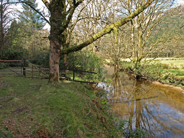
Having come south over the "Hell's Glen" road (B839), this old route starts after the steep hair-pin bend, and just before a bridge over the River Goil. There is a wide parking area, a Forestry Commission notice: "No Unauthorised...
by Eleisha Fahy | 11 September 2025
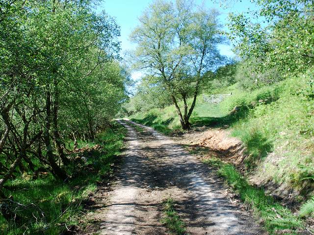
Today much of this route goes through developed forests, which causes difficulty with following the original route, so diversions are required to approximately follow it. North and South Balloch sit either side of a bridge (NX329956) over the River Stinchar. From...
by David Oxley | 11 September 2025
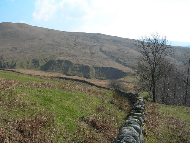
Starting at Balimore the route gently ascends in a north easterly direction for about 2.25 miles to the Abhainn Mhor (big river). The upper section passes through typical west coast deciduous woodland. Turning to the east, the route reaches a high point of...