Old Edinburgh Road Show path on map
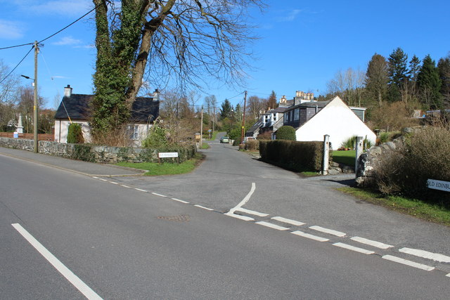
Start location: Old Edinburgh Road, Minnigaff ( NX 411 664 )
End location: A712 ( NX 613 775 )
Geographical area: Dumfries and Galloway
Path type: Civil Road, Medieval Road, Pilgrimage Route
Path distance: 25km
Accessibility info: Suitable for pedestrians
Route Description
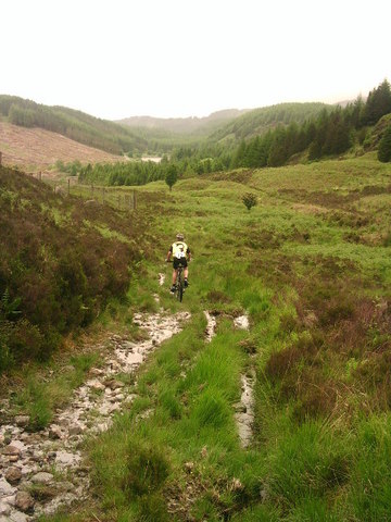
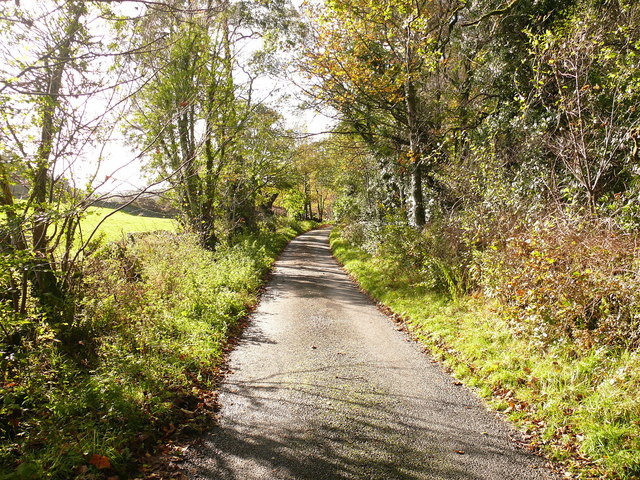
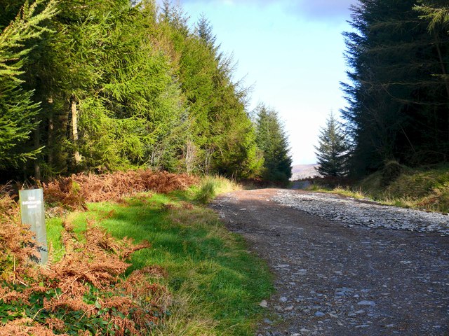
Appropriately enough, this route leaves Minnigaff northwards along Old Edinburgh Road, then go northeast towards Glenhoise for a further 1km. This minor road veers left at NX424673, and here clear traces of the old road continue straight ahead by farm tracks and field edges. Unfortunately, a variety of issues means that it may not be as straightforward to follow as it appears on the map, requiring diversions around gorse, bog etc, and especially so where it crosses a minor road at NX439682. Eventually, the Old Edinburgh Road meets a forestry cycle route at NX547691, but it suggested that that this point could instead be reached by following said cycle route from near the parking area at Auchinleck Bridge (NX447705), i.e. currently this may be a preferable alternative start point to Newton Stewart.
Continue northeast past Loch of the Lowes to the Black Loch; at NX494727 leaving the cycle route to pass to the south of the latter loch. On a bend 200m beyond the east end of the loch, turn left down a rough path, crossing the burn to meet a forest track at NX500731. Turn right and follow the Old Edinburgh Road on a clear track, hard-surfaced after the watershed, past Lillie’s Loch to the minor road at Clatteringshaws Loch. Turn east here following the road round the south edge of the loch before meeting the A712 and turning towards the former Clatteringshaws Visitor Centre, 1.5km to the north.
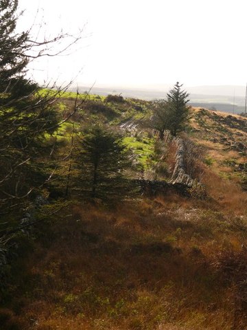
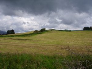
Opposite the former visitor centre, the start point is obvious, but one is soon faced by forest with no clear route. A bit of exploration reveals a more open section with, perhaps, a very vague route just discernible. Once into the larches, the route is apparent and more pleasant to follow to the quarry, beyond which it becomes more difficult again. After crossing the A712, the old road can be picked up again at NX570772 and followed east as a forest road to the forestry’s boundary wall. Beyond this, there is a long section over open ground where a route may be visible here and there, but it is hard-going, roughly paralleling the A712 never more than 200m to the south.
OS Landranger 77 (Dalmellington to New Galloway) and 83 (Newton Stewart & Kirkcudbright)
Heritage Information
Much of the line of the Old Edinburgh Road is still marked on OS maps. Early twentieth century Bartholomew mapping labels the route in the vicinity of Clatteringshaws Loch as broken up. It would have seen a huge amount of traffic in medieval Scotland, much of it consisting of pilgrimages to Whithorn Priory. Indeed James IV was a regular pilgrim, so would have used this route. Later it became the coach road to Port Patrick.