by Eleisha Fahy | 11 September 2025
From the A712, 8km west of New Galloway, take a forest road going northwest to join the Southern Upland Way (SUW), 1km beyond Upper Craigenbay. Go south on the SUW for 1km to Clatteringshaws Loch, then 4km west to the point where it crosses the Black Water of Dee at...
by David Oxley | 11 September 2025
The Heritage Paths (Campsie Fells) Project has produced a lovely Campsies map leaflet showing this interesting track and other paths in the area. To get your hands on one, simply write to us c/o ScotWays (see address top-right) enclosing an SAE and...
by David Oxley | 11 September 2025
We don't yet have a survey for the Clovenfords Turnpike, so would very much like to hear from anyone who has used this historic route. OS Landranger 73 (Peebles, Galashiels & Selkirk)
by David Oxley | 11 September 2025
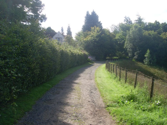
In recent years, probably as a result of the redevelopment of Balquharn Farm, this route has been tarred for all but a couple of hundred metres at western Alva end and now has the appearance of a minor road. The above developments are partly residential and partly...

by Eleisha Fahy | 11 September 2025
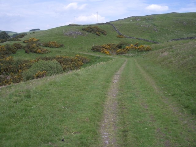
From Nine Mile Burn (NT177577) head southeast towards Wanton Wa’s, then follow the track on the north side of the A702 into Carlops. Pass through the village, south of which at NT160554 proceed southwest by Hartside and Linton Muir for 2½km to join a metalled road...