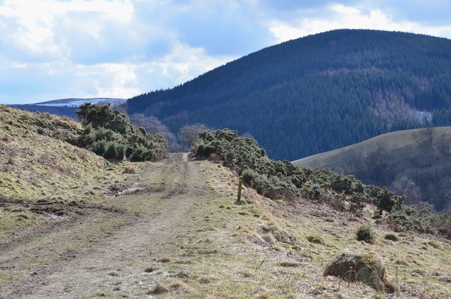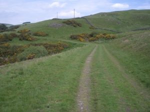
Clovenfords Turnpike Show path on map
Start location: Caddonfoot ( NT 451 347 )
End location: Clovenfords ( NT 448 363 )
Geographical area: Lothian and Borders
Path type: Civil Road
Path distance: 1.5km
Accessibility info: Suitable for pedestrians
Route Description
We don't yet have a survey for the Clovenfords Turnpike, so would very much like to hear from anyone who has used this historic route.
OS Landranger 73 (Peebles, Galashiels & Selkirk)
Heritage Information
The Clovenfords Turnpike can be clearly seen on the OS second edition 6" mapping, taking a higher line through the valley of the Caddon Water than the present road. It is locally known as the Green Road.