Old Hillfoots Road Show path on map
Start location: A91, Menstrie ( NS 853 970 )
End location: Quarry Road, Tillicoultry ( NS 912 974 )
Geographical area:
Path type: Civil Road
Path distance: 6.5km
Accessibility info: Suitable for pedestrians
Route Description
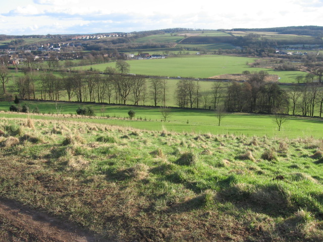
In recent years, probably as a result of the redevelopment of Balquharn Farm, this route has been tarred for all but a couple of hundred metres at western Alva end and now has the appearance of a minor road. The above developments are partly residential and partly commercial (farming). For the most part, it is used by walkers and cyclists, though the occasional car is also encountered.
From the eastern end of Alva the route runs ahead unmistakably, between fences bordering the adjoining fields; grass and earth underfoot, tractor-width. Further east, the line is marked by the remains of an avenue of mature trees and by the remains of a bordering dyke on the north (uphill) side of the track. This route is well-marked for most of its length, but loses its identity over the last 200m where it crosses the golf course. Take care as it is not at first clear which direction play will be coming from. For walkers setting out from the Tillicoultry end, there is no indication as to the starting point or the line over the golf course. There is a gate/barrier at 905 973 but big stepping-stones at each side.
OS Landranger 58 (Perth & Alloa, Auchterarder)
Heritage Information
This route is known as the Old Coach Road and is one of several parts of the old route along the Hillfoots, built close to the foot of the (drier) slope in the days before the flatlands were drained.