Old Road to Kilmory Show path on map
Start location: Balimore ( NR 708 741 )
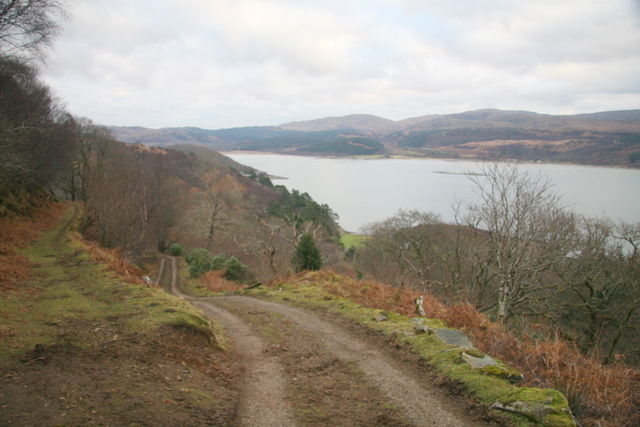
End location: public road at shore of Loch Caolisport, Ellary ( NR 740 763 )
Geographical area: Argyll and Bute
Path type: Civil Road
Path distance: 5.5km
Accessibility info: Suitable for pedestrians
Route Description
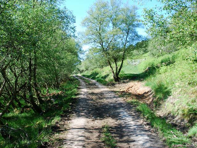
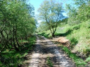
Starting at Balimore the route gently ascends in a north easterly direction for about 2.25 miles to the Abhainn Mhor (big river). The upper section passes through typical west coast deciduous woodland. Turning to the east, the route reaches a high point of 137m before passing Loch Meadhonach (middle loch) and Loch a' Bhalaich (loch of the pass), to reach the junction at grid reference NR738763 after a further 1.25 miles. Here a memorial seat is located at the junction of the old road with the Steallair Dubh. The onward route to Ellary continues somewhat steeply downhill, being marked by two zig-zag bends. The surface is generally dry, being partially sealed in places.
Limited car parking is available at Balimore and at the end of the public road at Ellary.
OS Landranger 62 (North Kintyre area)
Heritage Information
This path is said to have been stopped up as a through road for vehicles and removed from the County List of Public Highways in about 1950. Having been unadopted, it is no longer possible for the general public to drive vehicles over it. It has been, however, acknowledged as a pedestrian right of way and is known to be in use by cyclists. It now also forms part of Argyll & Bute Council's Core Paths network, so is likely available for all forms of non-vehicular recreational access.
On the OS 6" map surveyed in the 1860s, the track from Balimore only reaches as far as Ellary. In order to travel as far east as Achahoish, a traveller would have probably used the old path via the Steallair Dubh. Alternatively, intermittent tracks are shown along the coast as far as the ancient Chapel by St Columba's Cave and thence north-east to Cove meeting up with the line of the Steallair Dubh route.
Thirty years later, at the time of the OS 1" second edition mapping, a route can be seen to have been constructed east along the coast from Ellary to Achahoish.