
by Eleisha Fahy | 11 September 2025
This lovely low-level old route in remote country follows the Findhorn valley. It is best used after a spell of fine weather when the River Findhorn is readily fordable, because landslips below Creag a’ Chrocain have destroyed the version of the route which...

by Eleisha Fahy | 11 September 2025
Spey Dam lies 4km west of Laggan village. From the dam, where there is parking, go north up the rough track in Glen Markie for almost 5km, keeping right at NN580966, continuing when this peters out at NN585976 just past the Piper’s Burn. Cross the Markie Burn by...
by Neil Birch | 11 September 2025
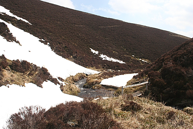
Leave the A97 in Donside 1km west of Glenkindie and go north on the minor road up the Kindie Burn by Glencuie and Rinmore to Largue, where the road ends. Then go north-northwest by a track which ends ½km south of the col between Dun Mount and Mount Meddin. Go north...
by David Oxley | 11 September 2025
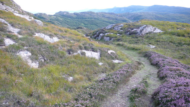
From the end of Calum’s Road at Arnish, the route is waymarked by the Raasay paths initiative. There has been a lot of birch woodland growing on either side of the track concealing former fields but plenty of evidence of wild boar. The track is easy to the...

by David Oxley | 11 September 2025
From the end of the public road at Fearns, follow a broad grassy track properly made as the main access to the former settlement at Hallaig, with retaining walls both above and below the track as needed. Apart from two minor landslips, the route is in excellent...
