
Heritage Path of the Month.
Gypsy Glen Drove Road is our Heritage Path of the Month for September 2026.
More about Gypsy Glen Drove Road:
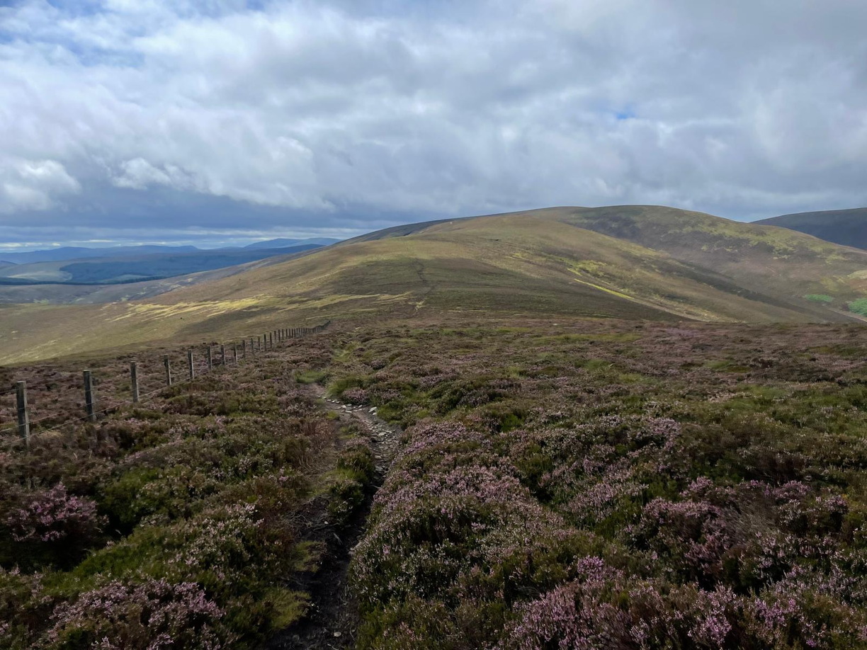
Go southeast from Peebles by Springhill Road, then Glen Road and the latter’s continuation by path, crossing the Haystoun Burn; this spot is known as Gypsy Glen. The wide old drove road steeply ascends the hill and runs for some distance along the ridge over Kailzie Hill, Kirkhope Law and Birkscairn Hill. Continue southwest towards the low point before Stake Law, but at the ScotWays sign to Yarrow (NT271327), cross the fence. From here, go south-southwest before bearing south then southwest and keeping to a height of about 500m, continue towards the forest west of Whiteknowe Head. Cross the boundary fence at an iron gate (NT264303) into the forestry plantation which in places obscures the old line. There is however a way through, initially skirting the forestry southeast then south, to enter the forest at the top of a mossy ride at NT268294, which leads southeast, with a few waymarks, to a T-junction at NT274290. Turn south-southwest to emerge onto a forest road at NT273287 and continue south to exit the forest, reaching the track beside the Douglas Burn, 500m northwest of Blackhouse. South of Blackhouse, the drove road crosses the Douglas Burn and strikes southwest over North and South Hawkshaw Rig to Dryhope at the foot of St Mary’s Loch.
OS Landranger 73 (Peebles, Galashiels & surrounding area)
For the first couple of miles out of Peebles, the old drove road is bounded by dry stane dykes. These are called raiks and were used to keep the cattle together, particularly useful if a drover was approaching a settlement. Gypsy Glen, which lies near the start of the route, was a traditional camping site used by Travelling people. This suggests that the route may also have been used by travellers who formed an integral part of the local economy having invaluable skills that the settled population needed.
Peebles was an important stopping place on the drove routes south. It is reported by ARB Haldane’s The Drove Roads of Scotland (1952) that although the drovers had to pay customs duty, they “had in return the right of grazing their beasts on a stretch of common land beside the Tweed on a site known as the Kingsmuir, rights of common pasture dating back to a Charter of James IV in 1506”. Kingsmuir survives in at least a couple of street names either side of Springhill Road, but old maps mark the Kingsmuir as far more extensive. Interestingly, John Thomson’s town plan of Peebles (1821) has an area just south of the river marked as Cow Lone.
The route passes by Blackhouse; James Hogg, the Ettrick Shepherd, was herdsman there from 1790 to 1800. When a Report on “Rights of Ways” In Selkirkshire was being prepared in the 1950s, it was reported that although the section between Dryhope and Blackhouse became indistinct after the first mile, the tenant farmer had said it was a condition of his tenancy to allow droving.
More about Heritage Paths
Learn about the history of some of the oldest transport routes in Scotland. Heritage Paths records the history of over 400 routes that criss-cross the Scottish landscape. From Roman Roads to Military Roads, find out how the route you are following came into being.
As well as historical information, you’ll find a modern-day route description along with start and finish details. Change the background mapping in our interactive viewer and time travel along your favourite Heritage Path from 1843 to today.
Photo: Gypsy Glen Drove Road © Sorley Watson