Old Road to Forres Show path on map
Start location: hairpin bend, Drynachan Lodge ( NH 865 397 )
End location: Ruthven ( NH 814 330 )
Geographical area: Inverness, Nairn, Badenoch and Strathspey
Path type: Rural Path
Path distance: 10.5km
Accessibility info: Suitable for pedestrians
Route Description
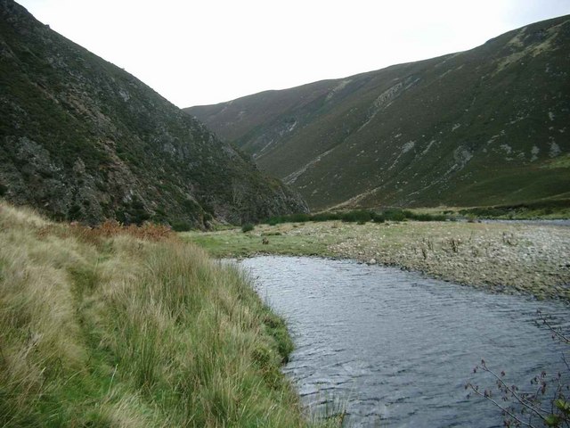
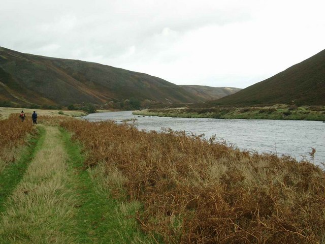
This lovely low-level old route in remote country follows the Findhorn valley. It is best used after a spell of fine weather when the River Findhorn is readily fordable, because landslips below Creag a’ Chrocain have destroyed the version of the route which avoided the need for a river crossing.
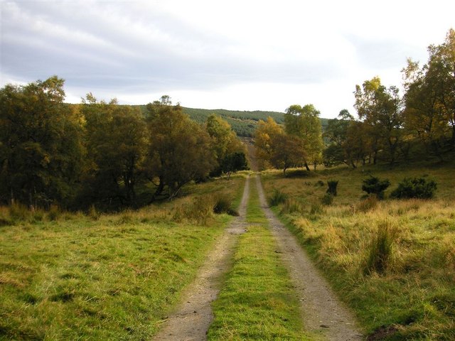
The start beside Drynachan Lodge is 8km along a minor road up the Findhorn valley from Dulsie Bridge (NH932414). At the hairpin bend by this lodge, a track goes generally south-southwest to Daless farm. From there, the route climbs above the house and goes southwest for about 400m, then picks up a path high above the north bank of the River Findhorn before dropping gradually towards the river, reaching a fishermen’s hut (NH848372) at Poll Beag.
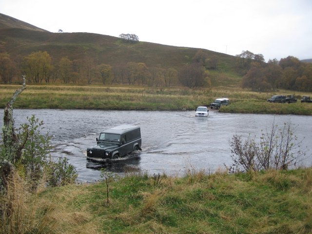
From here, travellers will need to decide the safest route onwards through a dynamic environment, considering the river level, landscape changes due to ongoing erosion, and their own experience:
– if the river is low enough, one option is to cross the vehicle ford (NH846369) to Ballachrochin on the south bank. Continue this side of the river as far as NH828354, then ford back again.
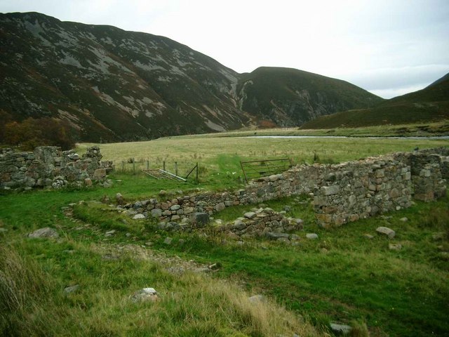
– alternatively, stay on the north bank past the ruins at Kincraig (NH839364; not shown on OS 1:50k map, but marked at 1:25k). Minor paths reach a large shingle bank below the landslip at NH832355. This could be used to ford the river to its south bank joining the first suggested option.
– another alternative, if wishing to stay on the north side of the river, from the landslip it might be possible to traverse about 500m of steep ground about 20-30m above the river, including crossing a fence.
– there is always the option to choose none of the above and return back down this beautiful valley to the start.
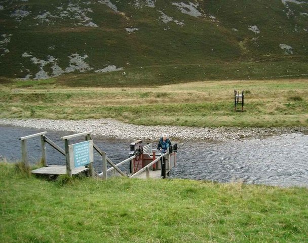
If continuing onwards using one of the first three options, go south to Shenachie (where there is a locked bucket bridge), then onwards on a very rough surface to the public road at Ruthven.
OS Landranger 27 (Nairn & Forres, River Findhorn)
Heritage Information
The majority of this route is depicted in Roy's Military Survey 1747-55. Heading eastwards, it crosses the river upstream of Shenachie and follows the south bank until just west of Ballachrochin, then crosses again to regain the north bank. Thereafter on Roy's Survey it is not mapped onwards to Daless, but this could relate to the break in the map sheets at the point the route disappears. Perhaps, it is also worthy of note that this old route through a relatively constrained valley may well have favoured different sides of the river at different times, dependent on factors such as erosion leading to the re-establishment and relocation of paths and fords. Seasonal and weather conditions will also have had an influence and it is possible that the route may not always have been reliable for end-to-end use, even if available for local access between dwellings en route. As such, the present circumstance of being reliant on the accessibility of fords, and the difficulties caused by landslips, may be typical of its historic patterns of use.
A former local resident, born in 1922 in the glen, reported that although current maps mark Shenachie on the west bank of the river, the ruin was known as Polochaig and it is the grass covered ruins directly opposite over the river that are Shenachie. He said that Shenachie was once occupied by MacQueen, credited with killing the last wolf in the area.
Polochaig is the name that appears on Roy's Survey and the OS 1" first and second edition maps. Shenachie doesn't appear on the OS mapping until it replaces Polochaig on the 1" third edition map surveyed in 1908-9.