Glen Markie Track Show path on map
Start location: Spey Dam, 4km west of Laggan ( NN 584 937 )
End location: Adopted road at north end of Loch Killin, 7km from Whitebridge ( NH 523 114 )
Geographical area: Cairngorms National Park, Inverness, Nairn, Badenoch and Strathspey
Path type: Rural Path
Path distance: 25km
Accessibility info: Suitable for pedestrians
Route Description
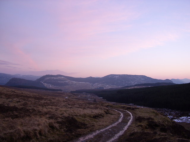
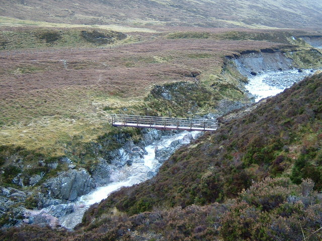
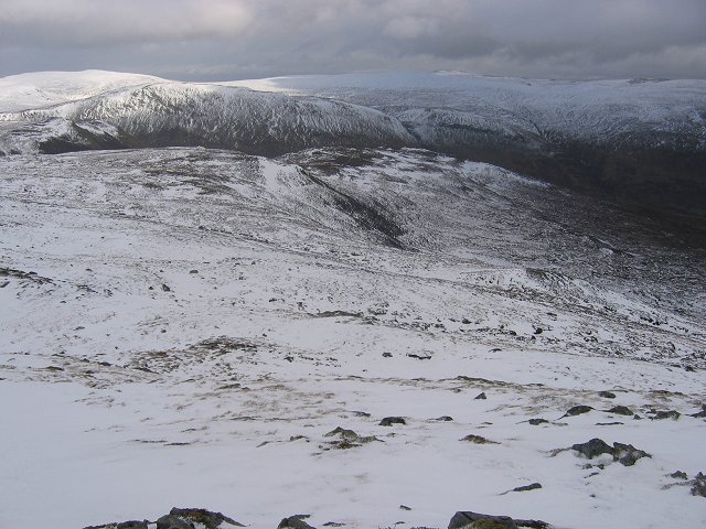
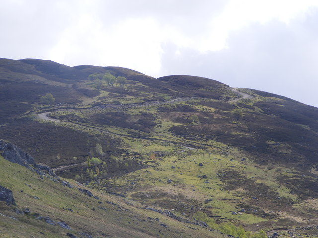
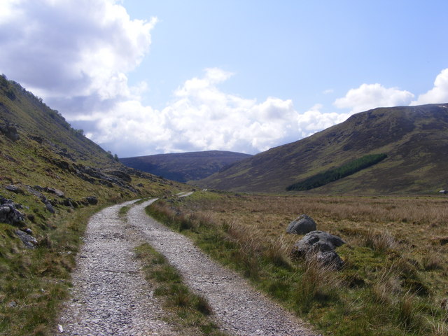
Spey Dam lies 4km west of Laggan village. From the dam, where there is parking, go north up the rough track in Glen Markie for almost 5km, keeping right at NN580966, continuing when this peters out at NN585976 just past the Piper’s Burn. Cross the Markie Burn by a substantial bridge at NH587982 and head northwest up the ridge on the northeast side of Lochan a’ Choire, making for NN576993 at the lip of the corrie. Continue over the flat plateau northeast of Geal Charn and down to Lochan na Lairige.
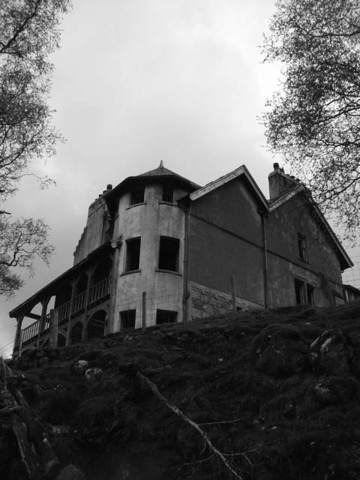
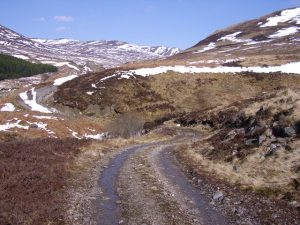
Continue north down the Crom Allt on smooth grassy streamside flats reaching a windfarm access road at NH559028. Turn west along this for 250m then northeast for 350m to reach the older track on the north side of the Crom Allt (true right bank) near the Chalybeate Spring (NH559032, but not evident). Follow the Crom Allt downstream, bearing left at a junction (NH553043) to reach the site of Sronlarig Lodge (now demolished). From there, it is 5km passing Killin Lodge to the public road at the north end of Loch Killin, near Garrogie Lodge, and a further 7km to Whitebridge.
Note: Laggan to Whitebridge is 35km.
OS Landranger 34 & 35
Heritage Information
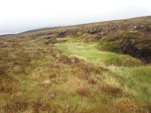
This old route is said to have been the way to Inverness preferred by the people of Laggan. Although some of the original line has been overlain by land-rover tracks, it is strongly visible for much of the way and is marked by ancient cairns at the col. The sections of the route which may from maps appear to be the weakest are, in fact, well-defined by burns, the nature of the country - extensive rough peat hags for many miles to the west - being such that the burns undoubtedly represent the line of choice, both in ancient times and now. We have also been told that there were once coffin rests or marker stones in the southernmost of the two Glen Markies. Any more information about the historic use of the route will be gratefully received.
By the same token that the route was an important link to the north for the former inhabitants of Laggan, it similarly represents a strategic link for modern-day walkers. Although it can be relatively quiet, our surveyor encountered a party of four walkers and, as the route passes Geal Charn, it is often used at least in part to access this Munro.