by David Oxley | 11 September 2025
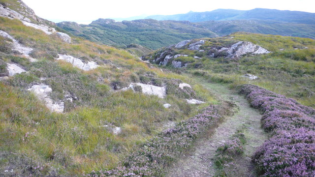
From the end of Calum’s Road at Arnish, the route is waymarked by the Raasay paths initiative. There has been a lot of birch woodland growing on either side of the track concealing former fields but plenty of evidence of wild boar. The track is easy to the...

by David Oxley | 11 September 2025
From the end of the public road at Fearns, follow a broad grassy track properly made as the main access to the former settlement at Hallaig, with retaining walls both above and below the track as needed. Apart from two minor landslips, the route is in excellent...

by Eleisha Fahy | 11 September 2025
Take the path from Elgol which goes north at a height of about 100m above sea-level across the steep west face of Ben Cleat. There are superb views of the Black Cuillin across Loch Scavaig from this part of the route. The path drops down to sea-level at the foot of...

by David Oxley | 11 September 2025
For this hard walk a map and compass is needed to return by Bealach Bharcasaig. The simpler there-and-back route follows a clear path, past the ruins at Idrigill to Macleod’s Maidens, but still climbs to 330ft/100m. Starting from Heribost on the A623,...

by David Oxley | 11 September 2025
We don't have a full survey of this route, but it should be straightforward and accessible for the most part. However the north section is part of a Ministry of Defence firing range, so access is restricted from time to time. Red flags will appear at...
