Old East Coast Path, Raasay Show path on map
Start location: North Fearns ( NG 594 361 )
End location: Brochel ( NG 579 461 )
Geographical area: Skye and Lochalsh
Path type: Rural Path
Path distance: 11km
Accessibility info: Suitable for pedestrians
Route Description
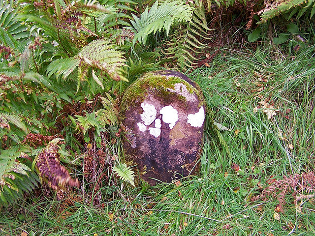
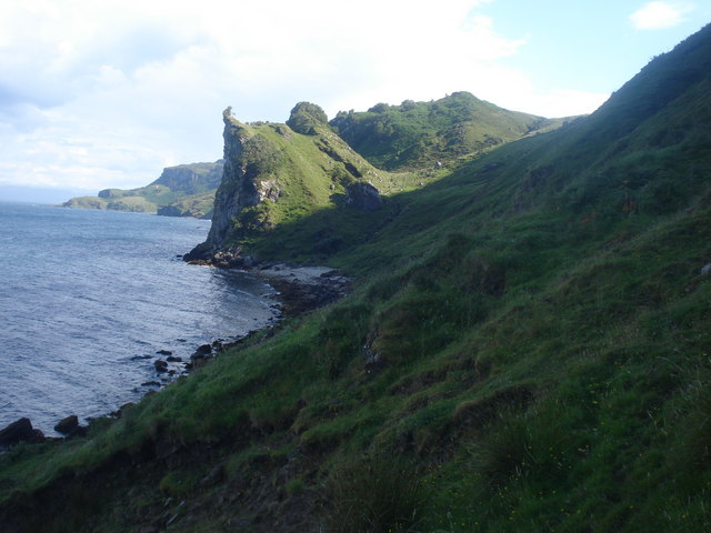
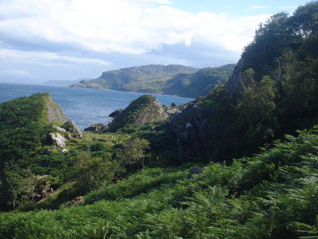
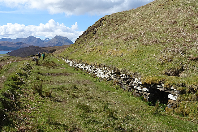
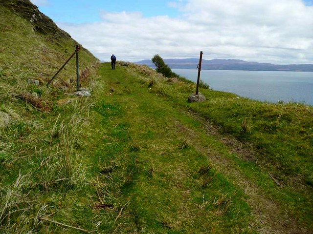
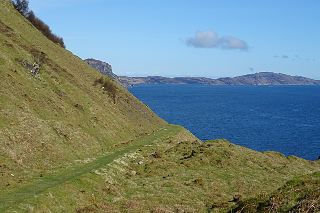
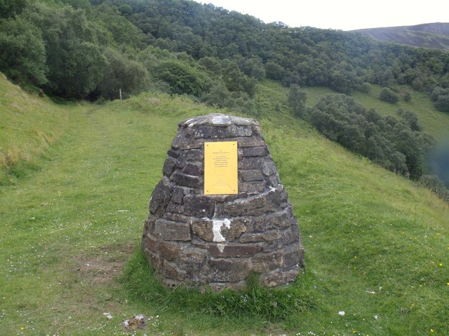
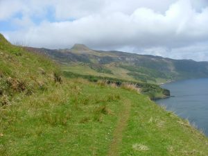
From the end of the public road at Fearns, follow a broad grassy track properly made as the main access to the former settlement at Hallaig, with retaining walls both above and below the track as needed. Apart from two minor landslips, the route is in excellent condition until the south side of the abandoned township. Views are of unsurpassed quality to Kyle and Applecross. From the memorial cairn to Sorley MacLean (NG597382), especially fine views encompass Dun Caan and the north of the island.
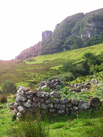
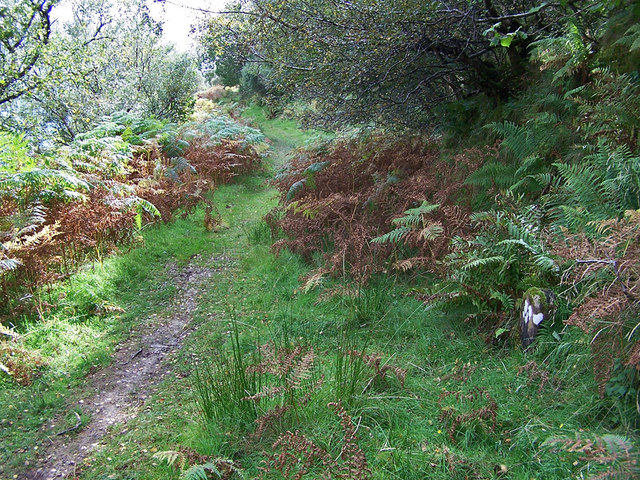
Passing a former stable block the path deteriorates and one must find one's way as best as possible through the remains of Hallaig, after traversing scrubby birch wood.
We have been informed that following the route between Hallaig and Screapadal is very difficult. However, reaching Screapadal from Brochel is more straightforward; so, if in any doubt, visiting the townships on two separate walks is an option.
We would be very grateful to receive further survey infomation.
OS Landranger 24 (Raasay, Applecross & Loch Torridon)
Heritage Information
This track passes a number of deserted townships such as Hallaig at 590 385, and South Screapadal and North Screapadal at 582 442 and 580 444 respectively. The township of Hallaig is probably the biggest on Raasay, containing the ruins of around 44 houses. Hallaig and the other townships were cleared shortly after 1846 when the island was bought by George Rainy of Edinburgh.
The Gaelic poet Sorley MacLean (1911-1996) was born in Osgaig, Raasay. Hallaig and Screapadal were both immortalised by him in verse; these and other of his poems can be found on the Urras Shomhairle website.