
by David Oxley | 11 September 2025
Newsflash! The Heritage Paths (Campsie Fells) Project is very pleased to announce that we have a lovely Campsies map leaflet showing old routes and other paths in the area. To get your hands on one, simply send us an SAE c/o ScotWays (see address...
by Eleisha Fahy | 11 September 2025
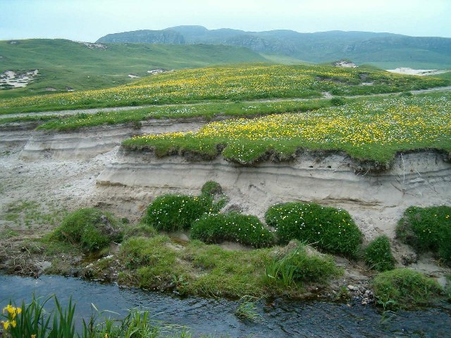
Easiest started from the Kilchoman end where there is plenty of parking as this is a very popular beach. A path through sand dunes above the broad sandy beach, but then climbs high above rocky shore to end at a road. OS Landranger 60 (Islay)

by David Oxley | 11 September 2025
From the N side of the Tigh na Truish Hotel, a narrow but well-trodden pedestrian path runs between the hotel and the B&B next door. A Society signs reads: ‘Public Footpath, Puilladobhrain Anchorage’ and an arrow screwed into a large rock reinforces...

by Eleisha Fahy | 11 September 2025
Leave Hawick by the Howegate, heading generally southwards on the minor public road for 9km via Pilmuir and Dodburn to Dod (NT473059). Then go south uphill on a good track and along a forest ride and edge by the Thieves Road over Dod Rig and down to join the forest...
by David Oxley | 11 September 2025
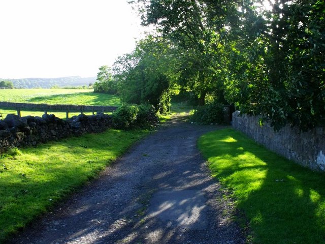
Newsflash! The Heritage Paths (Campsie Fells) Project is very pleased to announce that we have a lovely new Campsies map leaflet showing this old route and other paths in the area. To get your hands on one, simply send us an SAE c/o ScotWays (see address...
