Thieves Road, Hawick to Newcastleton Show path on map
Start location: Hawick ( NT 502 145 )
End location: Newcastleton ( NY 483 875 )
Geographical area: Lothian and Borders
Path type: Rural Path
Path distance: 30km
Accessibility info: Suitable for pedestrians, Survey required
Route Description
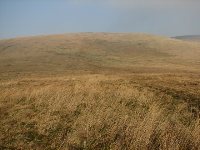
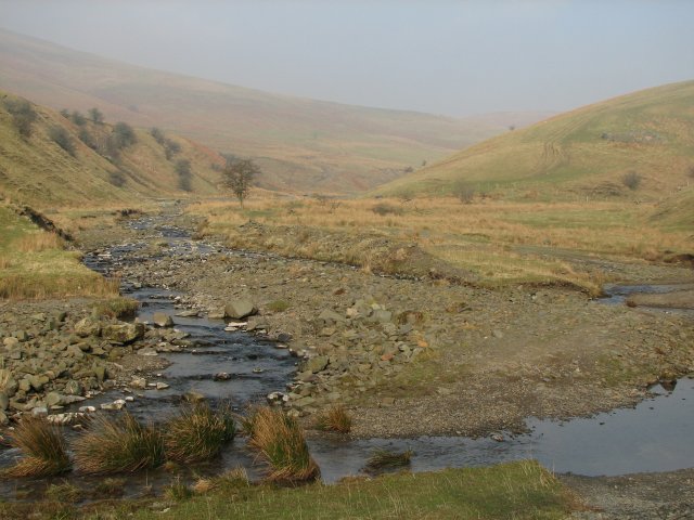
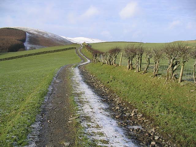
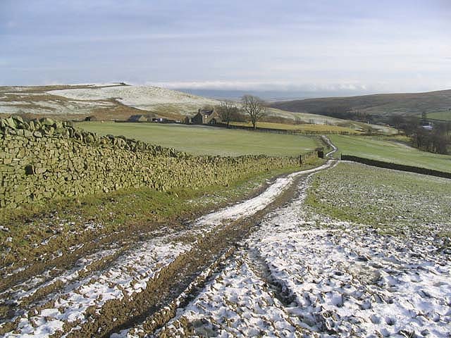
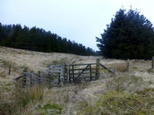
Leave Hawick by the Howegate, heading generally southwards on the minor public road for 9km via Pilmuir and Dodburn to Dod (NT473059). Then go south uphill on a good track and along a forest ride and edge by the Thieves Road over Dod Rig and down to join the forest road, soon crossing Priesthaugh Burn. Follow this track for 800m to a quarried scree slope at NT474009 where, from the far top edge, a path climbs ESE to a ride which leads south to open ground beyond the gate on the watershed (NT473003). Continue down Swire Knowe by the Queen’s Mire to Braidliehope (ruin) and Hermitage Water. Then go uphill from Dinley, then southeast by Flowsware Rig, Thief Sike and west of Hartsgarth to Redheugh to reach Hermitage Bridge (Smiddy Brig, NY496896), from where it is 2.5km by road to Newcastleton (Copshaw Holm).
OS Landranger 79 (Hawick & Eskdale)
Heritage Information
Mary Queen of Scots used the Thieves Road in October 1566 to travel from Jedburgh to Hermitage Castle to see Bothwell who had been badly injured in a border skirmish. She rode there and back in a day, and there's a well-worn tale that the journey was that of a scandal-hit Queen visiting her lover. However, historians now tend to portray the visit as relating to advice necessary for governance of her realm. The placenames of Queen's Mire and Lady's Knowe may both relate to that journey - it is in the former that her horse is said to have stumbled, throwing the Queen and resulting in the loss of her watch.
It is not just not regal place names that have left their mark on modern maps. Thief Sike, Thiefsike Head and Thieveshole Sike likely relate to a more nefarious history, that of the reivers.