Machir Bay Coast Road Show path on map
Start location: Machire, by Kilchoman, Islay ( NR 212 638 )
End location: Kilchiaran, Islay ( NR 206 602 )
Geographical area: Argyll and Bute
Path type: Rural Path
Path distance: 4.4km
Accessibility info: Suitable for bikes, Suitable for pedestrians
Route Description
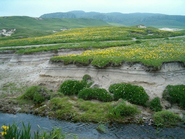
Easiest started from the Kilchoman end where there is plenty of parking as this is a very popular beach. A path through sand dunes above the broad sandy beach, but then climbs high above rocky shore to end at a road.
OS Landranger 60 (Islay)
Heritage Information
Kilchoman was the site of a very old parish church that was demolished to make way for the present church in 1825. A large number of medieval sculptured stones have been found in the grounds of the parish church, so it must have been a very significant religious site. This path was probably used a great deal by people attending church.
It is very well-engineered in places running along the foot of a cliff for a short period.