
by Eleisha Fahy | 11 September 2025
Starting at Forest Lodge (NT607287), Dere Street is followed by the waymarked St Cuthbert’s Way (SCW) southeast past Lilliard’s Edge and over Ancrum Moor. Upon reaching the Marble Burn (NT643253), Dere Street’s line becomes speculative, so the easiest...
by David Oxley | 11 September 2025
Unfortunately we have no survey of the whole of this route. We would be very grateful if anyone could provide us with one, particularly as there should be another 15km of Roman road potentially accessible south of this. By following the OS maps, you can...
by Eleisha Fahy | 11 September 2025
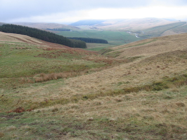
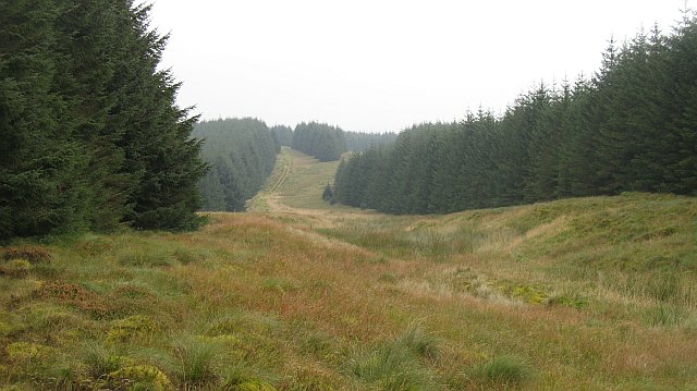
This old Roman road passes through the extensive Eskdalemuir and Craik Forests where notices are displayed denoting sites of historical interest, but forestry activity does mean the old road can be challenging to find and follow. It will be necessary to parallel its...
by Eleisha Fahy | 11 September 2025
This route runs from Durisdeer to the A702 just beyond Overfingland, and follows the course of the Roman road. Heading south to north: From Durisdeer Parish Church, a surfaced public road runs northeast between two rows of houses. Go through a gate beyond the last...

by Eleisha Fahy | 11 September 2025
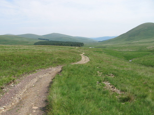
From the B6368, just south of Soutra Aisle, Dere Street is signposted from the south end of Soutra Mains Woods. Follow the field edge to reach an old grassy road visible as it goes south to cross the Armet Water. Continuing southeast, Dere Street passes through the...