Durisdeer Roman Road Show path on map
Start location: Overfingland Cottage, Dalveen Pass ( NS 930 098 )
End location: Unclassified road, Durisdeer ( NS 894 038 )
Geographical area: Dumfries and Galloway, Strathclyde and Lanarkshire
Path type: Medieval Road, Pilgrimage Route, Roman Road
Path distance: 7.5km
Accessibility info: Suitable for pedestrians
Route Description
This route runs from Durisdeer to the A702 just beyond Overfingland, and follows the course of the Roman road.
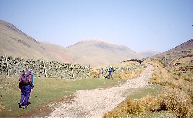
Heading south to north:
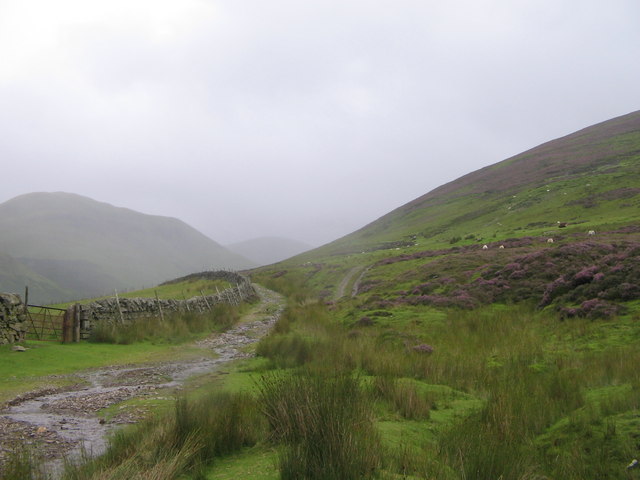
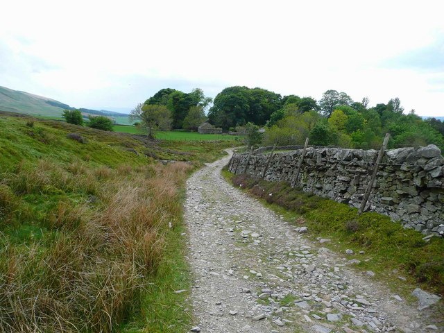
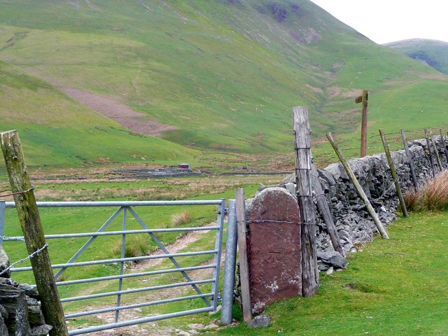
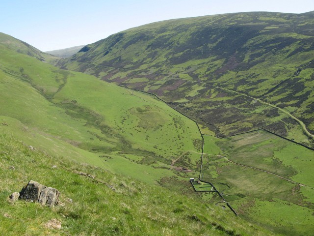
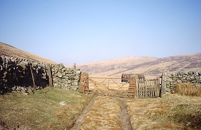
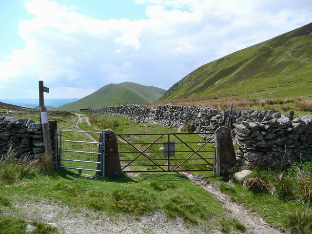
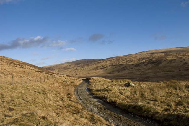
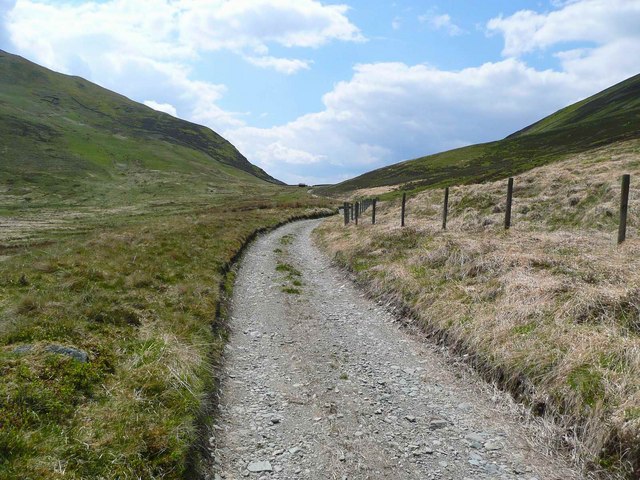
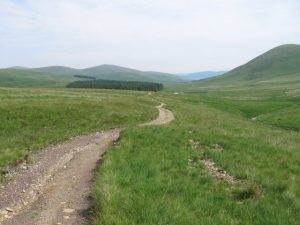
From Durisdeer Parish Church, a surfaced public road runs northeast between two rows of houses. Go through a gate beyond the last house. The track leads uphill until a notice to the Roman fortlet points over a stile and a gate. Follow this signposted track which passes to the south-east of the fortlet and continue up the valley. The quality of the track declines, first being quite muddy, then merely tyre marks over grass before becoming indistinct in damp and reedy ground. Continuing on the north side of the Kirk Burn, keeping a large stone wall on the right, the line of the Roman Road joins the landrover track that has been running roughly parallel to it just before the watershed. The Dumfries & Galloway / Strathclyde boundary is marked here by a stone dyke, but there are gates for the track. Passing the Well Spring, the track heads downhill to the plantation by the Potrail Water and crosses the Accinfern Burn, finally meeting the A702 beyond the north end of the wood. It crosses the road and continues indistinctly almost due north for half a mile, before swinging round to cross the Southern Upland Way east of Overfingland and rejoins the A702 at a fence a few hundred metres beyond.
Heading north to south:
Overfingland Cottage is on the A702, 100m south of the surfaced road leading to Overfingland Farm which is signposted “No access to the S.U.W.”. Just beyond the cottage over a grassy area on the right, a stile leads to the Southern Upland Way and Laght Hill. Do not go over the stile but walk to the gate at the southwest end of the fence. The gate is across the old Roman road which to the northeast is no longer evident due to a wood plantation. From the gate the route of the Roman road to the southwest is obvious. The Reeshaw Burn is crossed after 200m and the route is grassy and wet until the A702 is met again. Across the A702 the route passes down the west side of a wood to ford the Accinfern Burn. Immediately after the ford leave the surfaced road to gently ascend a grassy track on the right. Shortly this becomes a surfaced track running all the way to Durisdeer. However, after the county boundary at the watershed between Well Hill and Durisdeer Hill, the Roman road runs on the north side of the Kirk Burn whilst the landrover track is on the south side running under Durisdeer Rig.
OS Landranger 78 (Nithsdale & Annandale area)
Heritage Information
This is an old Roman road linking Clydesdale and Nithsdale taking a more direct line than today's A702. It is also known as the Well Path. A further section can be seen to the north near Elvanfoot.
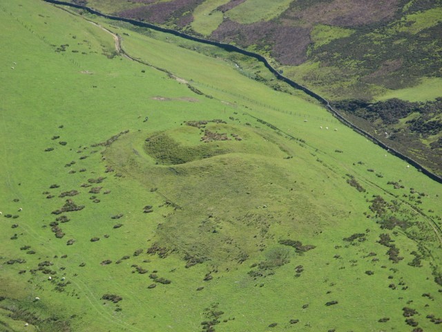
Along the route is a very well preserved Roman fortlet with walls over a metre high in places and the ditch is quite distinct. Excavations indicated that the fortlet it was possibly used by mounted units and was occupied twice in the Antonine period after AD 142, which would make the fortlet contemporary with the Antonine Wall. This Roman Road is said to date back further, to the Flavian era (AD 85-c.105)
This route was also used in the Middle Ages as the road between Clydesdale and Nithsdale.
The section of the Roman Road from Clydesdale to Durisdeer was later used by pilgrims making the trek from Edinburgh to Whithorn. James IV covered the entirety of the route in 1507 - 160 miles in 8 days. He had travelled the route previously - in 1497 the Lord High Treasurer's Accounts list "to the wife of Durisdeer, where the King lodged, 14s".
This route became the turnpike road to Edinburgh; it was used until the road through the Dalveen Pass was built in the early nineteenth century.