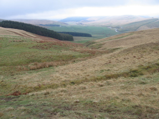
Roman Road from Moffat to Abington Show path on map
Start location: A702 just south of Wandel ( NS 943 269 )
End location: A701 just north of Lochouse Tower ( NT 083 036 )
Geographical area: Dumfries and Galloway
Path type: Roman Road
Path distance: 34km
Accessibility info: Suitable for pedestrians
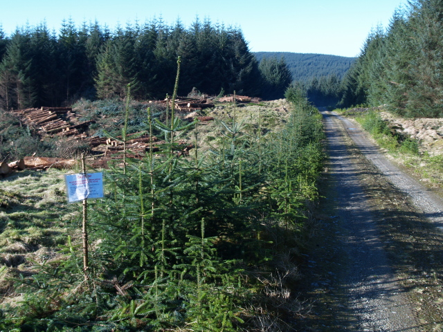
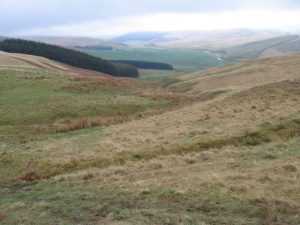
Route Description
Unfortunately we have no survey of the whole of this route. We would be very grateful if anyone could provide us with one, particularly as there should be another 15km of Roman road potentially accessible south of this. By following the OS maps, you can make your way along this route from Abington to Moffat, or a little past either town if desired. Abington to Moffat is about 18 miles.
OS Landranger 72 (Upper Clyde Valley) and 78 (Nithsdale & Annandale area)
Heritage Information
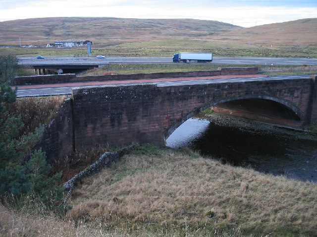
At 34km long, this is a very long section of Roman road. The strategic value of its alignment can still be seen in that even after two thousand years, the modern railway and roadways linking England with Scotland follow a very similar line.
Adjacent to the Roman Road near Elvanfoot is a spot that memorialises the lives of some of the people who built the routeways here. Beside the old red sandstone bridge over the Clyde at NS957182, pause to look at the little grass-grown burial plot below its southeast abutment. It known locally as the Irish Burial Ground or the Navvies' Graves, and is the final resting place of 37 workmen who died of typhus in 1847 while building the Caledonian Railway.