by David Oxley | 11 September 2025
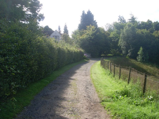
The Heritage Paths (Campsie Fells) Project has produced a lovely Campsies map leaflet showing this interesting track and other paths in the area. To get your hands on one, simply write to us c/o ScotWays (see address top-right) enclosing an SAE and...

by David Oxley | 11 September 2025
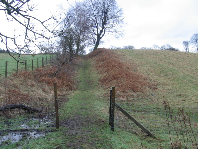
From the B835, about 1km north-west of Buchlyvie, the route of this former railway line can be followed to the north-east. Gartentruach is easily skirted on its north side, the route continuing across the Mye Burn to ultimately reach the B8034 from Arnprior. The Mye...
by David Oxley | 11 September 2025
Our most recent route survey starts at Vicar's Bridge, rather than the outskirts of Dollar. We hope to update this soon, or feel free to contact us with your own survey. The route starts by following an unclassified road running northwards, just after Vicar's...

by Eleisha Fahy | 11 September 2025
Our route description is east to west, i.e. in the opposite direction of travel of the coffins. One can start by walking an additional 10km/6miles from Balquhidder along the narrow public road on the north side of Loch Voil and Loch Doine to the carpark at its end,...
by David Oxley | 11 September 2025
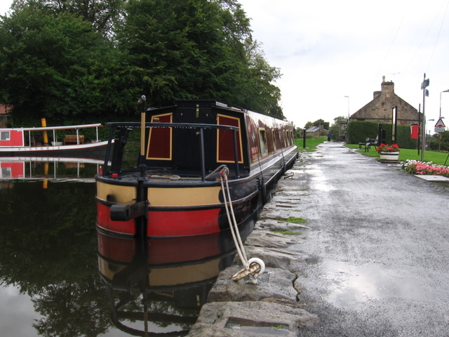
The Union Canal towpath runs on the north bank of the canal, there being no equivalent path on the south bank. As the towpath is promoted as part of the National Cycle Network (route 754), Sustrans have detailed and up-to-date descriptions of both the...