Old Cart Track to Muckhart Show path on map
Start location: A91, east of Dollar ( NS 969 981 )
End location: Pool Of Muckhart ( NN 999 007 )
Geographical area: Stirling, Clackmannan and Falkirk
Path type: Leisure Path, Rural Path
Path distance: 4.8km
Accessibility info: Suitable for pedestrians
Route Description
Our most recent route survey starts at Vicar's Bridge, rather than the outskirts of Dollar. We hope to update this soon, or feel free to contact us with your own survey.
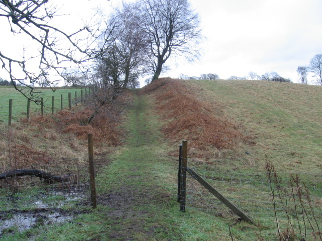
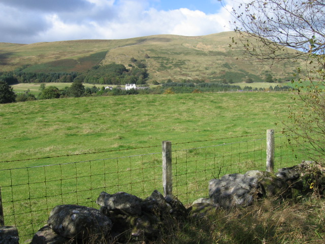
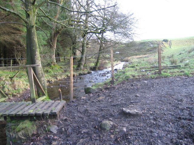
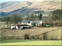
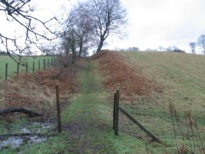
The route starts by following an unclassified road running northwards, just after Vicar's Bridge crosses the River Devon. It continues up a sandy vehicular approach-track to Cowden Farm; metal gate (openable) beyond the farm, then follows a muddy tractor-track down to the burn at NS992994 where there is a wooden bridge. A series of six wooden waymarker posts show the way up the long ascent towards Leys Farm; one fence + stile to be crossed, plus stone stile built into the garden wall at the farm (seventh sign here). The farm approach-road leads to the next minor road at Muckhart Primary School (2 more signs, one either side of the road). The remainder of the route follows the School Path – gravel surfaced and Council maintained – up the side of the golf course to Pool of Muckhart, latterly via the cul-de-sac of School Road. The terminus is marked by a tenth sign at the point where School Road joins the A91 (NN999007).
OS Landranger 58 (Perth & Alloa, Auchterarder)
Heritage Information
This route links Dollar and Muckhart and was entitled The Devon Way when established in the late 1970s.
This historic track was once used to reach the old toll point at Muckhart. Look out for the hollow-way (sunken road); such a feature is often indicative of an old route.