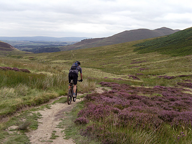
by Eleisha Fahy | 11 September 2025
From Bonaly Tower go uphill on a tarmac road past the Scout Centre and through the car parking area at NT211674. Go through gate and continue steeply uphill through woods on a good gravel path (this is locally known as Puke Hill). Go through gate at NT210671 and on to...

by Eleisha Fahy | 11 September 2025
From Nine Mile Burn (NT177577) head southeast towards Wanton Wa’s, then follow the track on the north side of the A702 into Carlops. Pass through the village, south of which at NT160554 proceed southwest by Hartside and Linton Muir for 2½km to join a metalled road...
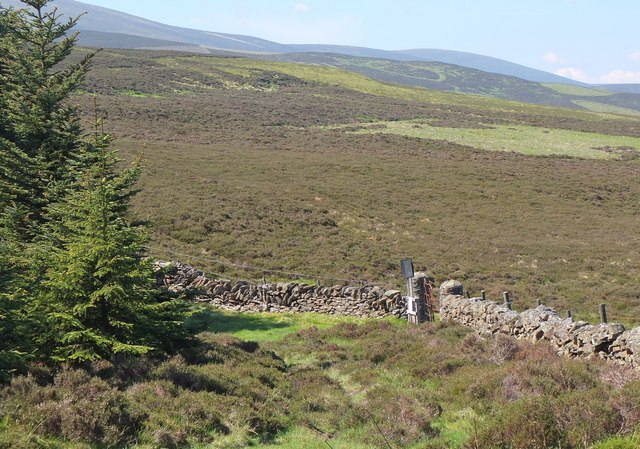
by Eleisha Fahy | 11 September 2025
Cross the River Tweed by the bridge to Dawyck Mill and go southeast up the hill on an old drove road to reach Dead Wife’s Grave. From here, the Thief’s Road can be followed generally south-southwest staying to the east of The Scrape and Pykestone Hill to...

by Eleisha Fahy | 11 September 2025
This route follows the old railway track parallel to the Biggar Water on its S side, which is slightly elevated because of the flooding risk. There are signs of use by farm vehicles at the W end, but the route is now mainly a grass path. There are several metal gates...
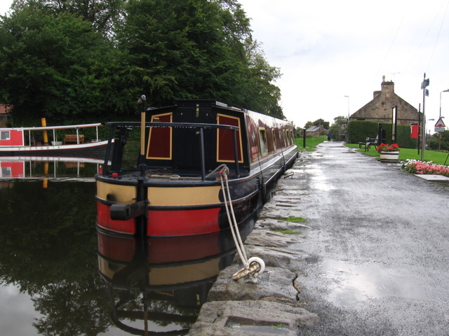
by David Oxley | 11 September 2025
The Union Canal towpath runs on the north bank of the canal, there being no equivalent path on the south bank. As the towpath is promoted as part of the National Cycle Network (route 754), Sustrans have detailed and up-to-date descriptions of both the...