Thief’s Road Show path on map
Start location: B712, by Dawyck Mill, south of Stobo Castle ( NT 175 364 )
End location: Craigierig, Megget Reservoir, west of St Mary's Loch ( NT 207 236 )
Geographical area: Lothian and Borders
Path type: Rural Path
Path distance: 16km
Accessibility info: Suitable for pedestrians
Route Description
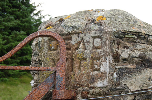
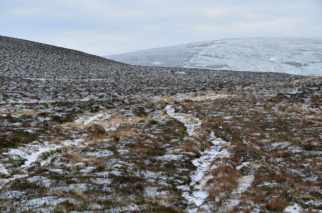
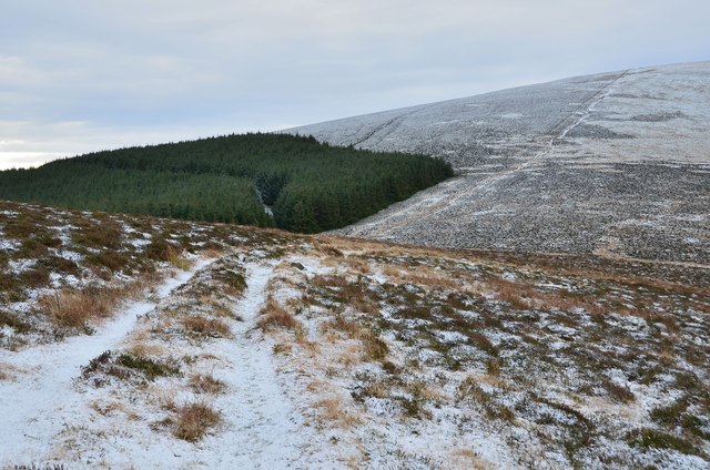
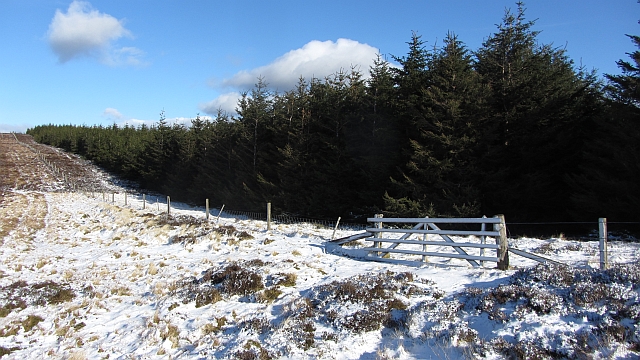
Cross the River Tweed by the bridge to Dawyck Mill and go southeast up the hill on an old drove road to reach Dead Wife’s Grave. From here, the Thief’s Road can be followed generally south-southwest staying to the east of The Scrape and Pykestone Hill to reach Long Grain Knowe. Go generally southeast by the west side of Dollar Law, and east of Fifescar Knowe, then passing over the former district council boundary to head by Notman Law, Shielhope Head and down to Craigierig (Megget Dam carpark at NT210233) and St Mary’s Loch. This is a very fine ridge walk over the 600m level.
OS Landranger 72 (Upper Clyde Valley) & 73 (Peebles, Galashiels & Selkirk)
Heritage Information
Although our route description gains the Thief's Road via an old drove road between Dawyck Mill and Glenrath in order to head south from Dead Wife's Grave, this old ridge route can also be traced a little north of that point also. It follows the high ground over Whitelaw Hill and White Knowe, though it is said to have disappeared completely north of the Stobo Old Drove Road. The Thief's Road is thought to have linked north via Lyne and Newlands to Linton and the Cauldstane Slap, the latter itself also known as the Thief's Road.
The Dead Wife's Grave is marked on the OS second edition 6" map, but the OS Name Book of 1856 states there are no remains of any structure. It lies where the old road passes through the parish boundary dyke. Tradition dating back to at least 1775 links the death of the woman with the 1645 Battle of Philiphaugh.