Biggar to Broughton Railway Line Show path on map
Start location: Station Road, Biggar ( NT 039 373 )
End location: bridge over Biggar Water, Broughton ( NT 112 360 )
Geographical area: Lothian and Borders
Path type: Railway Track
Path distance: 7.8km
Accessibility info: Suitable for bikes, Suitable for horses, Suitable for pedestrians
Route Description
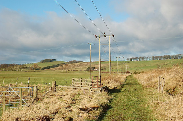
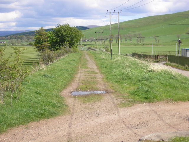
This route follows the old railway track parallel to the Biggar Water on its S side, which is slightly elevated because of the flooding risk. There are signs of use by farm vehicles at the W end, but the route is now mainly a grass path. There are several metal gates along the route, secured by a bolt and spring, with extra long upright levers for ease of opening by riders on horseback. Nearing the east end the route passes to the south side of the Broughton Brewery complex, through old railway sidings, rather muddy. A better option, which is the most used, is to take the path to the left immediately before the last gate. This crosses the Biggar Water at a footbridge to link with the tarred brewery access road and then the A701.
Cycle blog (2020): https://www.cyclingscot.co.uk/blog/biggar-to-broughton-railway-path.
OS Landranger 72 (Upper Clyde Valley)
Heritage Information
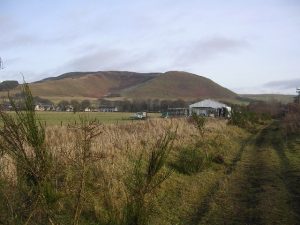
The old trackbed of the Symington, Biggar & Broughton Railway, closed to passengers in 1950. This section runs between the old Biggar and Broughton stations. The route is wide and well used with hard core in places from the old railway lines.