
by Eleisha Fahy | 11 September 2025
This route is a rough, unmade, mountain path, consisting of rough boulders and stones, wet in places. It is well-trodden and, therefore, clearly visible throughout its length, and the line is determined by the major mountain slopes on either side. The major...

by Eleisha Fahy | 11 September 2025
Forest Lodge lies south of Nethy Bridge, past Dell Lodge. From there, the track to Glen More heads southwest and is signposted. This is a well-made forest track. After only 100m or so, a junction is reached, whereupon a choice of routes is available: (a) For the...

by David Oxley | 11 September 2025
South to north: Heading through the Chalamain Gap is an alternative finish to the route through the Lairig Ghru. Just below the site of the now demolished Sinclair Memorial Hut (NH959037), a path branches to the right. It leads north on a gradual ascent to the...
by Eleisha Fahy | 11 September 2025
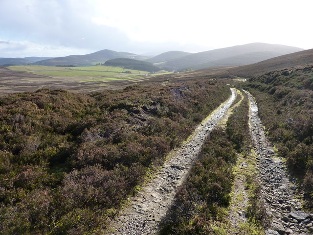
Please note, the high ground is featureless, and paths and tracks are barely discernible in places. Care and navigational skills will be needed in poor conditions. Just northwest of Smithyford in Glen Buchat, the access track to Upperton leaves the public road....

by Eleisha Fahy | 11 September 2025
Spey Dam lies 4km west of Laggan village. From the dam, where there is parking, go north up the rough track in Glen Markie for almost 5km, keeping right at NN580966, continuing when this peters out at NN585976 just past the Piper’s Burn. Cross the Markie Burn by...