Road to Glenbuchat Show path on map
Start location: Smithyford ( NJ 367 175 )
End location: Cabrach ( NJ 383 268 )
Geographical area: Cairngorms National Park, Moray
Path type: Rural Path
Path distance: 12km
Accessibility info: Suitable for pedestrians, Survey required
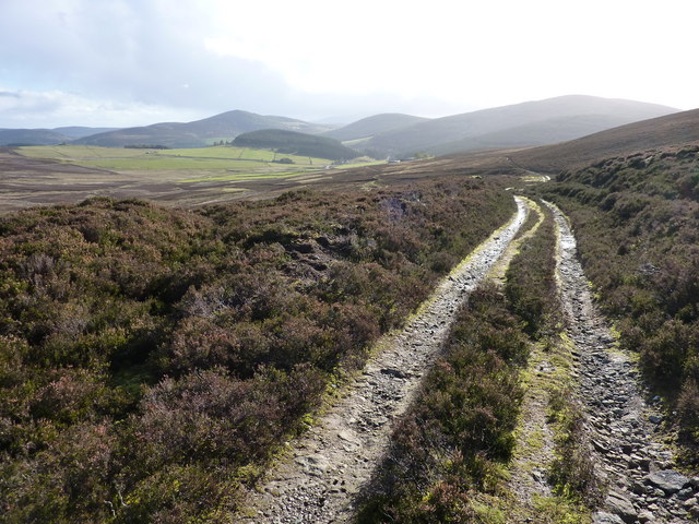
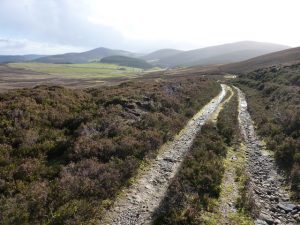
Route Description
Please note, the high ground is featureless, and paths and tracks are barely discernible in places. Care and navigational skills will be needed in poor conditions.
Just northwest of Smithyford in Glen Buchat, the access track to Upperton leaves the public road. Continue north, keeping to the east side of White Hill, then over the col (466m) east of Creag na Gamhna. At NJ361203, it is important to leave the main vehicle track by taking an obscure track which shortly passes a group of boulders surmounting a prominent mound – the Lifting Stones (NJ362204). Cross the Roch Ford at NJ365210, and 50m to the east, go through a gate in an electric deer-fence. Head northwest over rough ground to pick up a track running north between Backie Hill and Broomknowe of Garbet. Continue north across the east side of Keirn, and at about NJ366236, there’s a choice of routes. Either, most straightforwardly, head down past Gauch to reach the eastern end of the Steplar near Aldivalloch, from which Cabrach lies 3km further east along the narrow public road. Alternatively, it should be possible to reach Cabrach more directly by taking the track across Balvalley Moss, but the Heritage Paths doesn’t have a recent survey of this variant approach.
Heritage Information
This old route links Cabrach with Glen Buchat. Its one-time importance is evidenced by the remains of shielings. The Lifting Stones are so-called because the competive lifting of these was formerly contested by opposing groups of farm youths from Cabrach and Glenbuchat.
The Well of Cul-dearg lies beside this old route at NJ366189. According to the Ordnance Survey Name Book (1866), in 1740 seven people were found at this spring well having died from either famine or fatigue. The OS Name Book tells another sad tale, that of Davidson's Cairn, which lies a little further north at NJ364197 not far from the track. This small cairn of white quartz boulders marks the spot where a poacher died of natural causes - an inscription in granite reads "A DAVIDSON 1792 - 1843".
This route may also have been used by droving traffic. The OS marks a Market Stance in Cabrach, just north of where the Upper Cabrach school lies empty today. Roy's map (1747-55) marks a route from Cabrach to Glenbuchat which more closely follows the River Deveron, but it does appear to use the Roch Ford.