
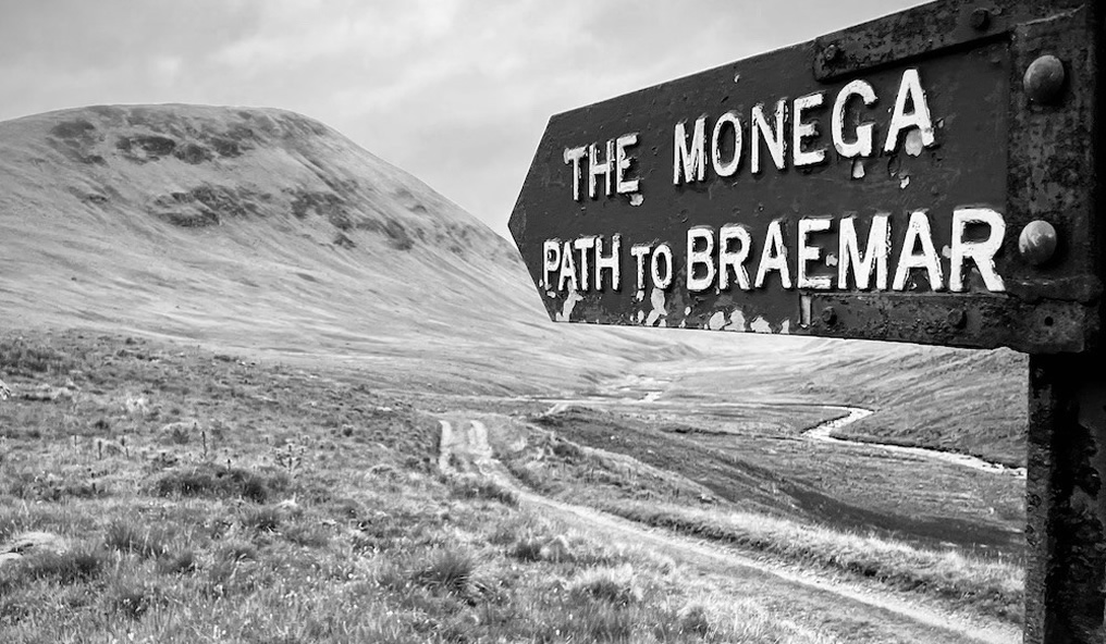
by Eleisha Fahy | 11 September 2025
Leave Hawick by the Howegate, heading generally southwards on the minor public road for 9km via Pilmuir and Dodburn to Dod (NT473059). Then go south uphill on a good track and along a forest ride and edge by the Thieves Road over Dod Rig and down to join the forest...

by David Oxley | 11 September 2025
Head south from near Carterhouse Farm by an old road to the disused quarry and then a forestry road which ascends to the Border at Carter Fell. Beyond the border, continue south to Limestone Knowe (549m). From there go by the march fence by Grey Mare's Knowe,...
by Eleisha Fahy | 11 September 2025
This old route leads through forests and open moorland with superb views to the Rhinns of Kells and Cairnsmore of Carsphairn. Start from the Forestry & Land Scotland car park at NX592878, 600m west of the A713 just north of Kendoon. Follow the path north down to...

by Eleisha Fahy | 11 September 2025
This old drove road goes south from Muirkirk past Kames and up the Garpel Water, crossing it by the bridge at NS698245, to the col (410m) between Wardlaw Hill and Stony Hill. Continuing southeast then east, the grassy path (boggy in places) enters the forest at...
by David Oxley | 11 September 2025
Newsflash! The Heritage Paths (Campsie Fells) Project is very pleased to announce that we have a lovely Campsies map leaflet showing this old route and other paths in the area. To get your hands on one, simply send us an SAE c/o ScotWays (see address...