Carter Quarry Route to Carter Fell Show path on map
Start location: Carterhouse ( NT 665 076 )
End location: Carter Fell ( NT 655 028 )
Geographical area: Lothian and Borders
Path type: Industrial Path
Path distance: 5.5km
Accessibility info: Suitable for pedestrians
Route Description
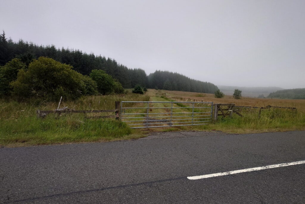
Start from a gate on the A6088 approximately 350m west of the road junction at Fellside, near Carterhouse.
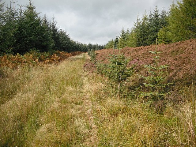
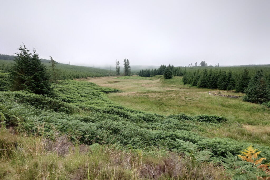
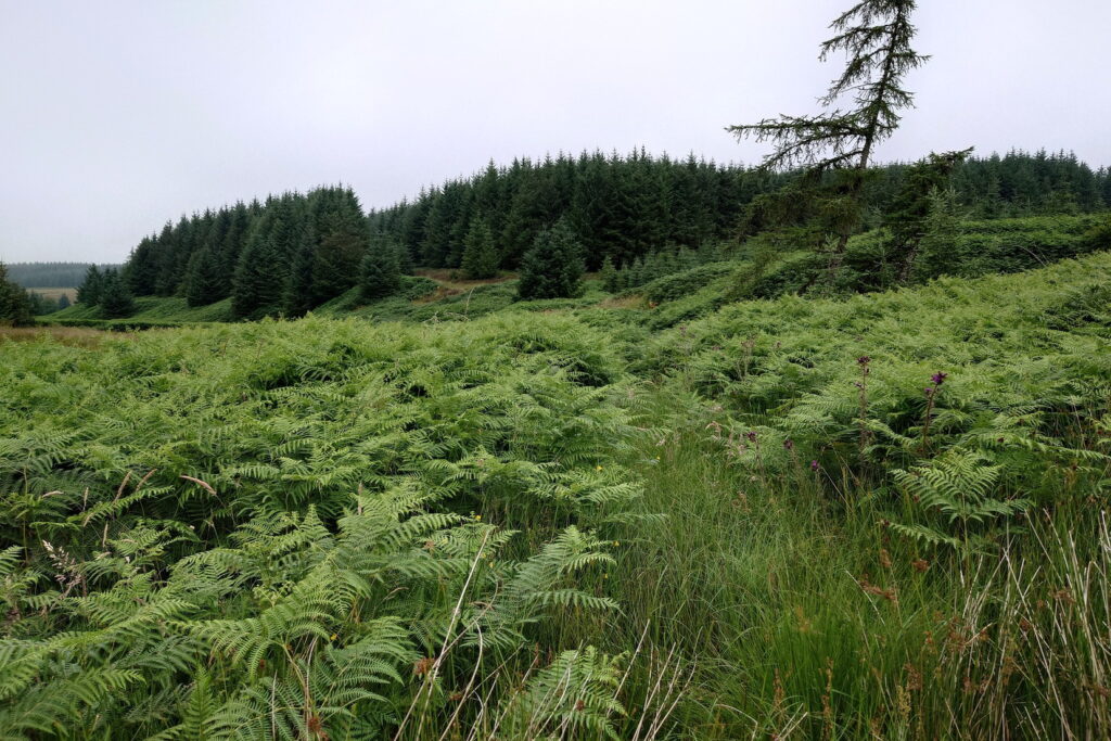
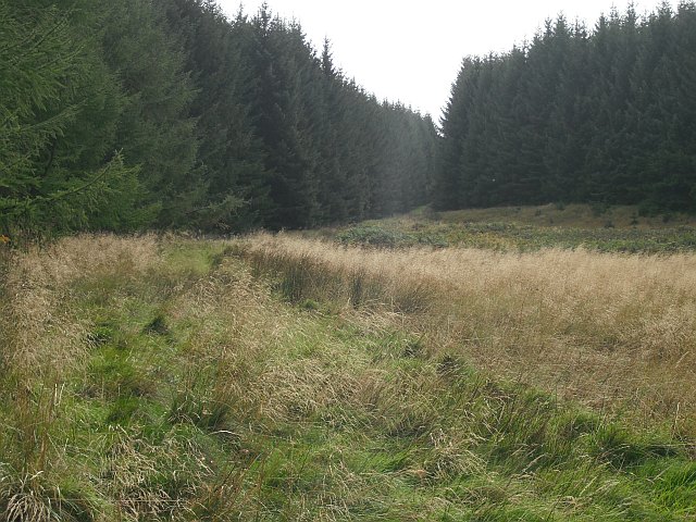
For the first 3.5km, the old route is clear through the forest as far as the disused quarry at the top of Meadow Cleuch; the path itself, however, is very thick grass and rush underfoot. After about 850m, at an old fence line, the route drops towards the Carter Burn and turns into thick bracken becoming difficult to follow for around 200m, and there’s a small burn crossing with no bridge. Where the path crosses the Carter Burn (NT66390674), there was probably a wooden forestry bridge, but it appears to have a large tree growing across it and is not passable, so the burn must be carefully forded instead. From this point the path is back to thick grass and rush through a broad forest ride, becoming easier as it ascends, until reaching heather moorland near the old Carter Quarry.
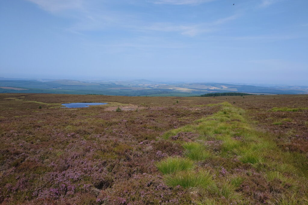
The old route zigzags up the slope past the quarry, and can be followed as a green ribbon of wetter vegetation running through the heather alongside the Limekiln Burn in a south-easterly direction. This burn is crossed, then keep heading uphill steadily to the Border. The track peters out around 50m short of the border fence, which has a gap here, although there is no evidence of any path beyond this on either side of the fence; it is very rough moorland going into England.
OS Landranger 80 (Cheviot Hills & Kielder Water)
Last surveyed July 2026.
Heritage Information
The route served Carter Quarry - it's well-drawn on the OS 1st edition 6" mapping (surveyed 1859) with structures including three limekilns, but by the time of the second edition (surveyed 1896) the quarry is labelled as disused.