by Neil Birch | 11 September 2025
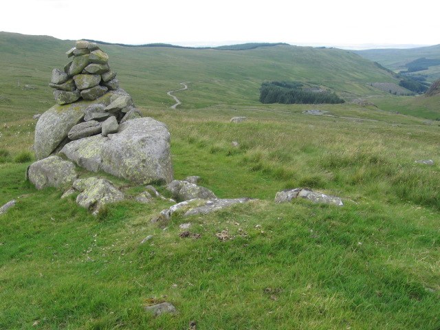
Follow the road south up Glen Afton for 9km towards Afton Reservoir, but before Craigdarroch take the right hand fork which sits higher up the valleyside than the route to the dam. Circa NS629048, enter the trees on the west bank of the reservoir (rejoining the route...
by Finley Jackson | 11 September 2025
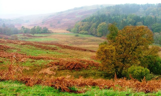
This is a long and, at times, complex route through rough and often remote ground with ongoing forestry operations. The description below does not always exactly follow the mapped line, but is the one for which Heritage Paths has received survey information; further...
by Neil Birch | 11 September 2025
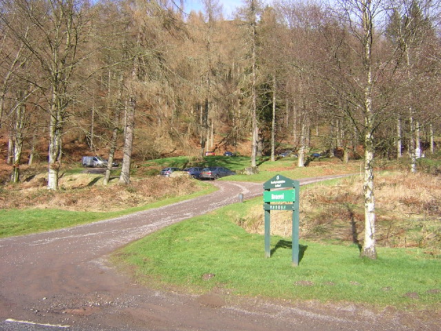
From the FLS car park at Braeval, go northeast uphill on a forest road, then path, reaching the edge of the forest in 2.8km. Continue for 1km along a path across open moorland south of the Menteith Hills escarpment. Re-enter the forest along the upgraded path through...
by Neil Birch | 11 September 2025
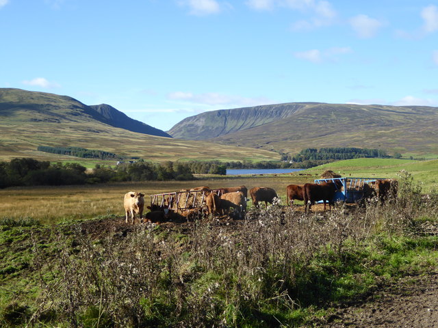
Most of this old route is now used by the Glen Quaich alternative section of the Rob Roy Way (RRW), a long distance route from Drymen to Pitlochry. On the north side of Amulree’s military bridge, a right of way signpost ‘Footpath to Kenmore’ points along a rough...

by Eleisha Fahy | 11 September 2025
Start from the Mill Glen carpark at the top of Upper Mill Street in Tillicoultry and go up the path high on the east side of Mill Glen. An alternative which is more scenic is to follow the path up the glen itself, crossing and recrossing the stream which cascades in...
