Old Road to Callander Show path on map
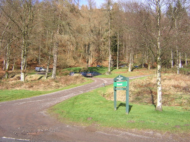
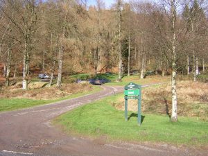
Start location: Braeval car park, just off A81, east of Aberfoyle ( NN 541 006 )
End location: East Lodge, Loch Vennacher ( NN 593 056 )
Geographical area: Loch Lomond and Trossachs National Park
Path type: Roman Road, Rural Path
Path distance: 7km
Accessibility info: Suitable for pedestrians, Survey required
Route Description
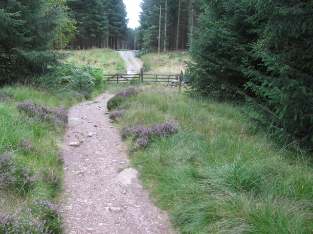
From the FLS car park at Braeval, go northeast uphill on a forest road, then path, reaching the edge of the forest in 2.8km. Continue for 1km along a path across open moorland south of the Menteith Hills escarpment. Re-enter the forest along the upgraded path through the pass which divides the Menteith Hills, to reach a small lochan named Allt a’ Chip Dhuibh. Continue to NN572041 where a narrow path forks left to descend towards Invertrossachs Drive near West Dullater, thence northeast to reach the public road at East Lodge.
Heritage Information
The age of the old hill track below the Menteith Hills escarpment is not thought likely to be as old as that. However, it appears in the Ordnance Survey 6 inch to the mile map from the mid 19th century and there are a lot of ruined buildings located along the route in that map indicating that its use is quite a lot earlier than when it was surveyed. These days it is used by the Aberfoyle to Callander section of the Rob Roy Way, a long distance route from Drymen to Pitlochry.
Interestingly, the Royal Commission of Ancient and Historic Monuments Scotland notes that an alleged Roman Road from Malling to Bochastle is speculated to have run along the south shore of Loch Venachar. Considering the presence of a Roman Fort at Bochastle, by Callander, it is not unlikely. It may even have been the precursor of this (less) old route now used by the Rob Roy Way.