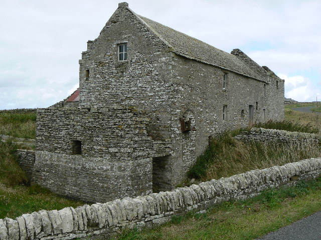
by David Oxley | 11 September 2025
This old grass and dirt track was a lost route until very recently. It has now been fenced with post and wire and re-opened as a community amenity by the parish Community Council using Awards for All funds. OS Landranger sheet 6 (Orkney – Mainland) or sheet...
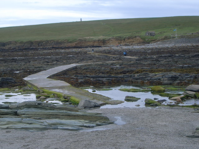
by David Oxley | 11 September 2025
The Brough of Birsay is a tidal island and can only be accessed by the causeway for two hours either side of low tide. From the tarmacced Brough of Birsay carpark, this stone and concrete-topped causeway crosses a narrow strand of water and is clear and safe but...
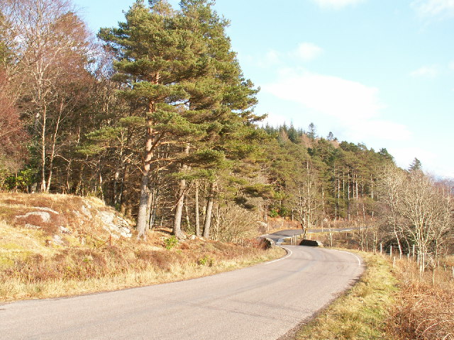
by David Oxley | 11 September 2025
High Mingarry (Mingarry on the OS maps) is reached by a north/south track from the parliamentary road (A861) starting from the bridge at Mingarry (Mingarrypark). The track crosses the main Mingarry burn within the forestry plantation and one of the main...
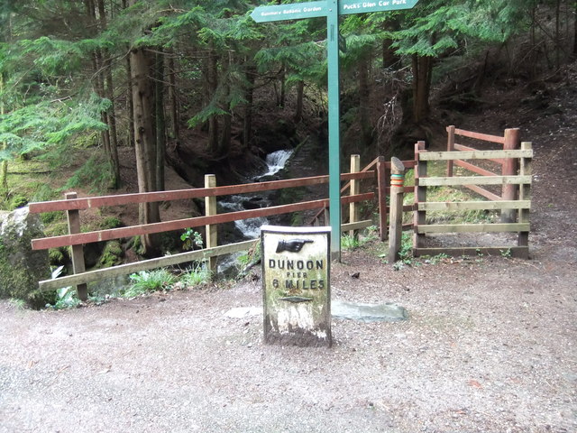
by David Oxley | 11 September 2025
We don't have a full survey of this road yet and would be very grateful to receive one. OS Landranger 56 (Loch Lomond & Inveraray area)
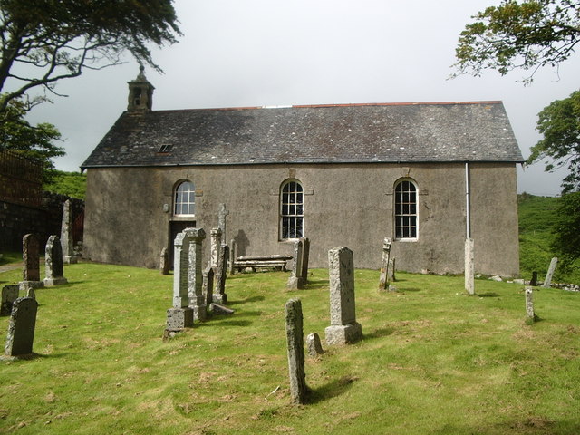
by David Oxley | 11 September 2025
Leave the B8073 a few yards west of Kilninian Church. A track winds uphill through a gate and passes to the right of a cottage onto the open moor. At the top of the hill is an old wall with small wooden gate. The path is not easy to find from here, but follow the Allt...