Tankerness Mill Road Show path on map
Start location: Whitecleat, Tankerness ( HY 514 085 )
End location: Smiddyquoy, Tankerness ( HY 508 097 )
Geographical area: Orkney Islands
Path type: Rural Path
Path distance: 1.4km
Accessibility info: Suitable for pedestrians
Route Description
This old grass and dirt track was a lost route until very recently. It has now been fenced with post and wire and re-opened as a community amenity by the parish Community Council using Awards for All funds.
OS Landranger sheet 6 (Orkney – Mainland) or sheet 7 (Orkney – Southern Isles)
Heritage Information
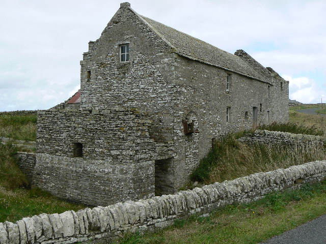
The track was originally used by local people as access to the mill, now disused and a ruin.