by David Oxley | 11 September 2025
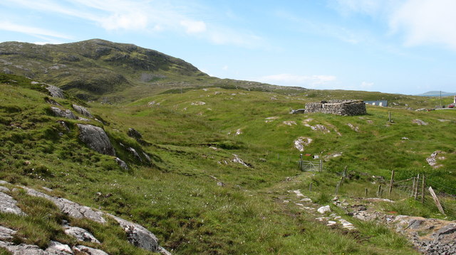
This is the old route to the, now mainly deserted, township of Roisinis. At the last survey, in 2006, there were a number of fences along the route that were difficult to cross. OS Landranger 31 (Barra and surrounding islands)
by Eleisha Fahy | 11 September 2025
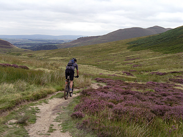
From Bonaly Tower go uphill on a tarmac road past the Scout Centre and through the car parking area at NT211674. Go through gate and continue steeply uphill through woods on a good gravel path (this is locally known as Puke Hill). Go through gate at NT210671 and on to...
by Eleisha Fahy | 11 September 2025
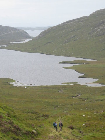
This route is part of the ‘Hebridean Way’, signed all the way, with information boards at both ends. A broad landrover track up Loch Laxadale, gradually becoming more green and overgrown towards the head of the loch, then climbing to the summit at...

by Eleisha Fahy | 11 September 2025
On the public road above Reinigeadal (Rhenigidale), at NB224017, two signs to Urgha and an information board indicate a path. Follow this well-made path west as it traverses the hillside above a fence, go through a gate and cross a bridge to pass between the ruined...
by David Oxley | 11 September 2025
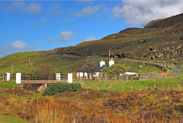
The way across the Morsgail Forest is difficult, owing to it lying over peatbog. However white painted standing stones about 100 yards apart indicate the route off the OS mapped path, and lead you to within clear sight of Loch Resort. OS Landranger 13 (West Lewis...
