
by David Oxley | 11 September 2025
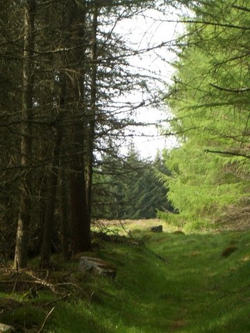
This is a beautiful route with many trees, cliffs above, and changing views of Colonsay, Jura, Scarba and the Garvellachs. Start in Lochbuie at the end of the public road at NM605249, where a green sign with white lettering states "Public...
by David Oxley | 11 September 2025
This is a route of two halves: the eastern half is a forest ride which preserves very well the line of the traditional route and the western half (on the westward slope down to Merklands) is open moor, on which the path-line has faded almost completely....

by Eleisha Fahy | 11 September 2025
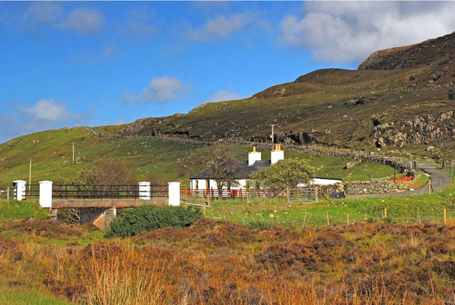
On the public road above Reinigeadal (Rhenigidale), at NB224017, two signs to Urgha and an information board indicate a path. Follow this well-made path west as it traverses the hillside above a fence, go through a gate and cross a bridge to pass between the ruined...
by David Oxley | 11 September 2025
The way across the Morsgail Forest is difficult, owing to it lying over peatbog. However white painted standing stones about 100 yards apart indicate the route off the OS mapped path, and lead you to within clear sight of Loch Resort. OS Landranger 13 (West Lewis...

by Eleisha Fahy | 11 September 2025
The first edition OS 6″ map (1853), shows an intermittent path across the Lewis Moor from Tolsta to Skigersta, which is what we have roughly mapped here. A modern Heritage Trail now also runs from Tolastadh to Sgiogarstaigh: linking various historic sites, it...
