Old Road to Tarbert Show path on map
Start location: Urgha Beag, road to Scalpay ( NB 177 004 )
End location: unclassified road, bend 2km W of Maaruig, N. Harris ( NB 187 058 )
Geographical area: Western Isles
Path type: Rural Path
Path distance: 6.1km
Accessibility info: Suitable for pedestrians, Survey required
Route Description
This route is part of the ‘Hebridean Way‘, signed all the way, with information boards at both ends.
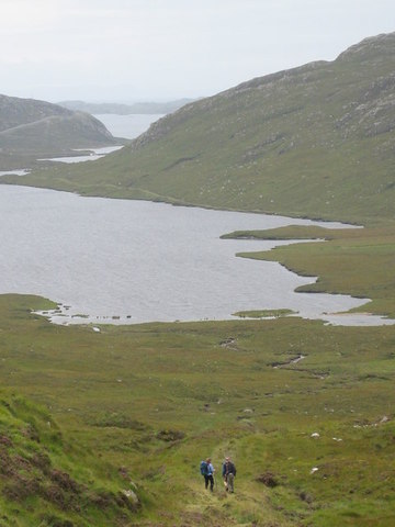
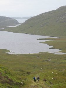
A broad landrover track up Loch Laxadale, gradually becoming more green and overgrown towards the head of the loch, then climbing to the summit at NB184043, thereafter descending to cross the Maruig river by a good bridge to meet the public road. Somewhat wet after the summit on the north side, especially after rain, but generally a good route. Maximum height is 140m at NB184043.
OS Landranger 14 (Tarbert & Loch Seaforth)
Heritage Information
This former packhorse route was the old road to Tarbert from Maruig. In 2001, it became part of the Harris Walkway, which now forms part of the longer Hebridean Way.