
by David Oxley | 11 September 2025
We don't have a full survey of this route, but it should be straightforward and accessible for the most part. However the north section is part of a Ministry of Defence firing range, so access is restricted from time to time. Red flags will appear at...

by David Oxley | 11 September 2025
From Stansa na Feille (the Market Stance) in Benbecula (NF805535), there’s a signpost "Rueval Footpath" at the start, and a sign on the gate beyond the landfill site: "Footpaths to Rossinish, Meanish and Scarilode". Continue on a good,...

by David Oxley | 11 September 2025
There is a car park at the road end at Craigston and a good track runs uphill to the former Thatched House Museum. Although there is no track beyond this point, the route is well-defined past the Grionan chambered cairn and uphill to the sky line...
by David Oxley | 11 September 2025
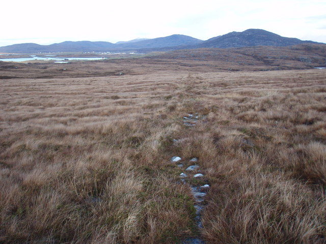
This route is boggy – the route follows a sploshy inland valley. OS Landranger sheet 31 (Barra and surrounding islands)
by Eleisha Fahy | 11 September 2025
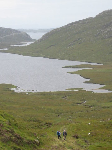
This route is part of the ‘Hebridean Way’, signed all the way, with information boards at both ends. A broad landrover track up Loch Laxadale, gradually becoming more green and overgrown towards the head of the loch, then climbing to the summit at...