Old Road through Strath Eachaig Show path on map
Start location: A815, by phonebox in Strath Eachaig ( NS 144 855 )
End location: A815, north of Rashfield ( NS 147 839 )
Geographical area: Loch Lomond and Trossachs National Park
Path type: Rural Path
Path distance: 1.7km
Accessibility info: Suitable for pedestrians
Route Description
We don't have a full survey of this road yet and would be very grateful to receive one.
OS Landranger 56 (Loch Lomond & Inveraray area)
Heritage Information
This is characteristic of an older route as it is slightly further from the river, which was very important when the land wasn't well drained. It can often be seen that the newer roads gradually get lower and closer to rivers. This route must have seen a lot of traffic at one time. It was only superseded relatively recently, as the 1955-1961 edition of the OS 1" mapping still shows it as the main route through Strath Eachaig.
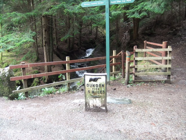
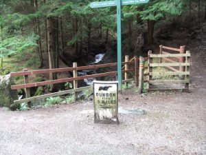
A milestone on this old road indicates "Dunoon Pier 6 miles".