
by David Oxley | 11 September 2025
From Stansa na Feille (the Market Stance) in Benbecula (NF805535), there’s a signpost "Rueval Footpath" at the start, and a sign on the gate beyond the landfill site: "Footpaths to Rossinish, Meanish and Scarilode". Continue on a good,...
by David Oxley | 11 September 2025
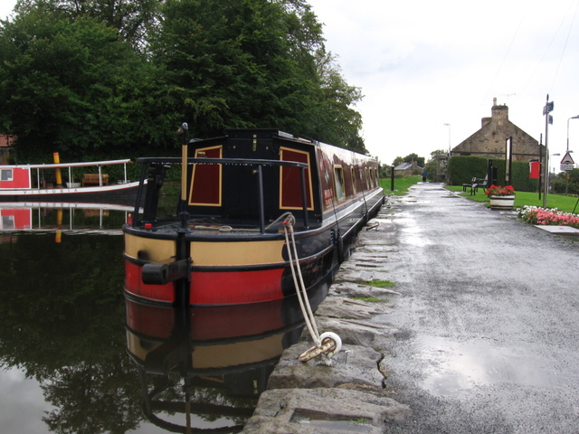
The Union Canal towpath runs on the north bank of the canal, there being no equivalent path on the south bank. As the towpath is promoted as part of the National Cycle Network (route 754), Sustrans have detailed and up-to-date descriptions of both the...

by David Oxley | 11 September 2025
Newsflash! The Heritage Paths (Campsie Fells) Project is very pleased to announce that we have a lovely new Campsies map leaflet showing this old route and other paths in the area. To get your hands on one, simply send us an SAE c/o ScotWays (see address...
by David Oxley | 11 September 2025
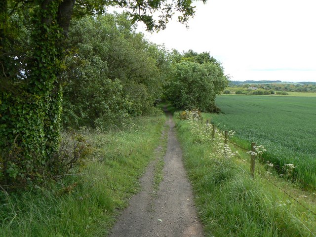
This path starts as a road access between houses on Main Street, quickly becoming grassy path. Joins farm road between Muriespot and Lochtyside after 350 yards. 100 yards west of this junction an earth path heads south-southeast to meet line of railway, then follows...
by David Oxley | 11 September 2025
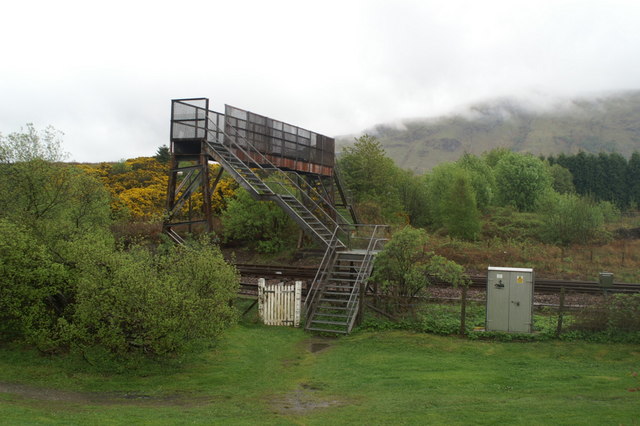
From the end of Locheil Road the obvious continuation is a cycle path; but to the right of this steps lead down a shallow grassy bank and across 10m of grass to a metal bridge over the railway. Definitely a footbridge: 1m wide and steep metal steps. On the far side a...