Balgonie Miners’ Path Show path on map
Start location: Coaltown of Balgonie opposite 54 Main Street ( NT 301 996 )
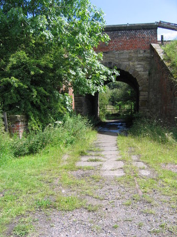
End location: Railway underpass near Thornton Golf Course ( NT 299 978 )
Geographical area: Fife
Path type: Industrial Path
Path distance: 1.9km
Accessibility info: Suitable for horses, Suitable for pedestrians
Route Description
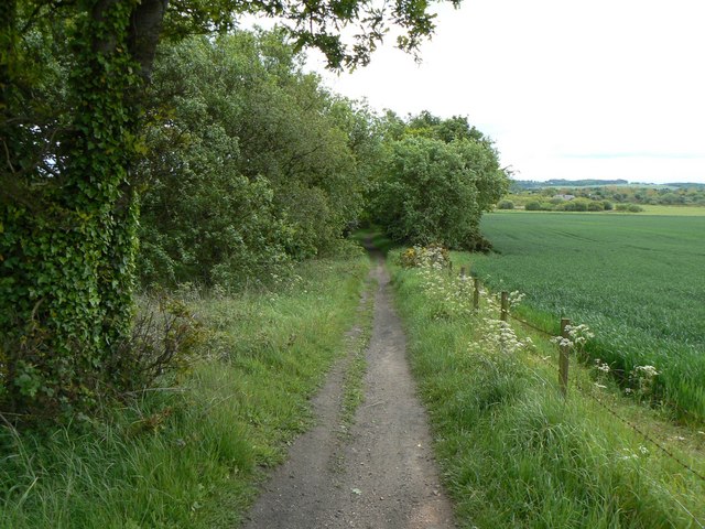
This path starts as a road access between houses on Main Street, quickly becoming grassy path. Joins farm road between Muriespot and Lochtyside after 350 yards. 100 yards west of this junction an earth path heads south-southeast to meet line of railway, then follows the railway to the underpass near Thornton golfcourse.
OS Landranger 59 (St Andrews, Kirkcaldy & Glenrothes)
Heritage Information
This path is thought to have been used as a miners' path but it is unclear as to exactly which mine the miners were travelling to. It is presumably the old mine that is marked on old Ordnance Survey maps a little south of Thornton. If this is the case that mine is marked as old on the 6 inch to the mile map, which was surveyed in 1854 and so this route must have been in use for quite some time before that.
The path was probably also used by railworkers accessing Thornton Junction where the railway lines meet, possibly by bleach workers accessing Lochty Bleachfields and perhaps also by Millworkers going to Mackie's Mill.
It is certainly an old path used by various workers travelling to their work, a practice that would be preferable to modern commutes.