… to update that is! There are only a few routes still needing to be surveyed as part of our updating of Scottish Hill Tracks. First published in 1947 the book contains 344 routes through hilly or remote terrain that vary from short day walks to long ones, with a few multi-day treks too.
Could you help us?
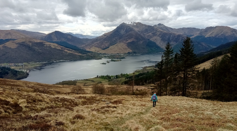
Would you like to walk, run, bike or ride a new route with a different purpose? Only a few routes still need to be surveyed – the outstanding routes are shown in yellow on the overview map and listed in the table below. Find out more about what’s involved, and contact scottishhilltracks@scotways.com for more information.

| Route No. | Route Name | Distance (km) | Distance (mi) |
| 76 | Bargrennan to Polharrow Bridge (St John’s Town of Dalry) by Backhill of Bush | 35 | 22 |
| 77 | Bargrennan to Dalmellington or Carsphairn | 42 | 26 |
| 79 | Clatteringshaws Loch to Dalmellington | 38 | 24 |
| 81 | Barr to Dalmellington | 31 | 19 |
| 176 | Blairgowrie to Kirkmichael | 27 | 17 |
| 181 | Kirkmichael to Spittal of Glenshee | 13 | 8 |
| 250 | Kinloch Hourn to Inverie (Loch Nevis) | 24 | 15 |
| 252 | Kinloch Hourn to Glenelg | 26 | 16 |
| 267 | Loch Mullardoch Dam to Killilan (Loch Long) by Glen Cannich | 32 | 20 |
| 271 | Monar Dam (Glen Strathfarrar) to Killilan (Loch Long) by Glen Elchaig | 40 | 25 |
| 272 | Monar Dam (Glen Strathfarrar) to Attadale or Loch Long by Bendronaig Lodge | 38 | 24 |
| 286 | Salen to Lochbuie by Loch Ba and Loch Scridain | 28 | 17 |