by Eleisha Fahy | 11 September 2025
If starting in Kirk Yetholm, head east-southeast along the Pennine Way as far as the Halter Burn, where the “Low Level Pennine Way” heads south to Burnhead From Burnhead, go southeast up the slope of Latchley Hill to the col between The Curr and Black Hag,...

by David Oxley | 11 September 2025
The north end commences on the A68 as the narrow tarred road accessing the cemetery at Fala, signed "Access to cemetery only". After the gate to the cemetery, signed: "Footpath to A7 5 1/4 miles, follow green squares", the track is metalled....

by Eleisha Fahy | 11 September 2025
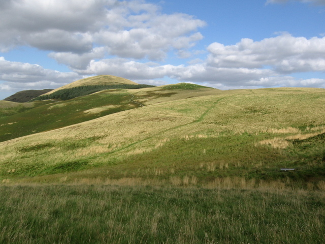
From the crossroads at Traquair, follow Southern Upland Way (SUW) signs southeast past the Village Hall (car park) and The Riggs, then go uphill on the old drove road to the Cheese Well (NT357355) and over the north shoulder of Minch Moor. Continue east over Hare Law,...
by Eleisha Fahy | 11 September 2025
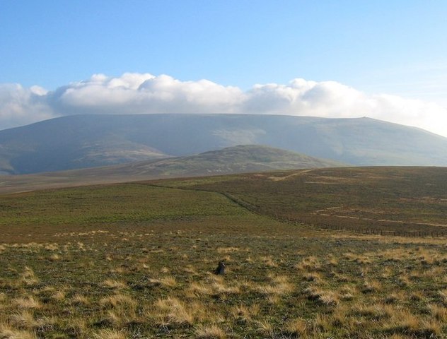
Unusually, this old route is a loop; the end point given is the furthest extent. The loop is circa 16km. From Kirk Yetholm, follow the section of the Pennine Way (here also St Cuthbert’s Way) which goes over the south shoulder of Green Humbleton. St...